What is recorded here
In mountain pasture, on a NE-facing slope overlooking the valleys of the Roughty and Slaheny Rivers to the N and E, respectively. Relict field walls, which occur in two groups, surround a circular enclosure (KE094-019----) and cover an area c. 220m N-S; c. 200m E-W. The walls (T 0.6m; H 1m) protrude above thin peat cover and some are exposed in cutaway bog. Both linear and curvilinear stretches of these relict walls extend S and W of the enclosure and in turn enclose at least one irregular and one rectangular field. A linear wall, to the S of the above network, extends (L 40m) in an E direction from the bank of a N-flowing stream, it then veers ESE (L 15m; elevation along this section measures T 0.25m; H c. 1m) along the top of a terrace to the SW of the enclosure and appears intermittently thereafter.
The above description is derived from the published 'Archaeological Inventory of County Kerry. Volume I: South-West Kerry' (Dublin: Stationery Office, 2009). In certain instances the entries have been revised and updated in the light of recent research.
Date of upload: 30 May 2011
The monument record does not grant public access. Check the route and ask the landowner before entering private land.
- What survives
- Recorded monument
Places near here
 SheepfoldEnclosure · 65 yd
 Sheep FoldEnclosure · 483 yd
 KnockbrackMountain / peak · 1140 yd
 OutlinedKiln, lime · 1.2 mi
 Battle of Callannbattle · 1.2 mi
 Kilgarvan Motor MuseumMuseum · 1.4 mi
 Knockbrack South TopMountain / peak · 1.4 mi
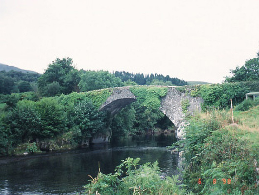 Ardtully Old Bridgebridge · 1.4 mi
 Castle (Site of)Castle, unclassified · 1.5 mi
 European YewEuropean Yew · 1.5 mi
 Great Southern & Western RailwayMemorial · 1.9 mi
 Shanagarry Castle (Site of)Castle, unclassified · 3.2 mi