What is recorded here
Fairy fort in Slaheny, County Kerry: an oval earthen ring, 28m by 20m, with a causeway entrance at the north and a steep scarp on the south, set on a ridge above the Slaheny River. People may have lived there, marked territory, or simply followed the shape of the land; the bank and fosse still hold the outline of that choice.
In a wooded area, on the steep S-facing slope of a ridge, overlooking the Slaheny River 200m to the NE. A roughly oval area (c. 28m N-S; c. 20m E-W), covered with overgrowth, defined by a low earthen bank (Wth 5.6m; int. H 0.25m; ext. H 2.6m) NW-S and by a scarp S-NW. An intervening fosse (Wth 2.8m) and an outer bank are evident NW-N. There is a causeway entrance at N. An E-W field boundary skirts the N edge of the fosse and may mask part of it.
The above description is derived from the published 'Archaeological Inventory of County Kerry. Volume I: South-West Kerry' (Dublin: Stationery Office, 2009). In certain instances the entries have been revised and updated in the light of recent research.
Date of upload: 30 May 2011
The monument record does not grant public access. Check the route and ask the landowner before entering private land.
- What survives
- Recorded monument
Places near here
 IndicatedFairy fort / earthen ringfort · 393 yd
 Battle of Callannbattle · 595 yd
 Kilgarvan Motor MuseumMuseum · 926 yd
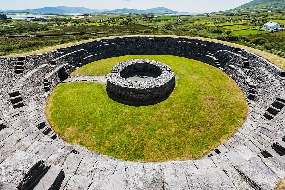 Cahergal Br.Bridge · 936 yd
 Glebe Ho.Ecclesiastical residence · 1290 yd
 Great Southern & Western RailwayMemorial · 1345 yd
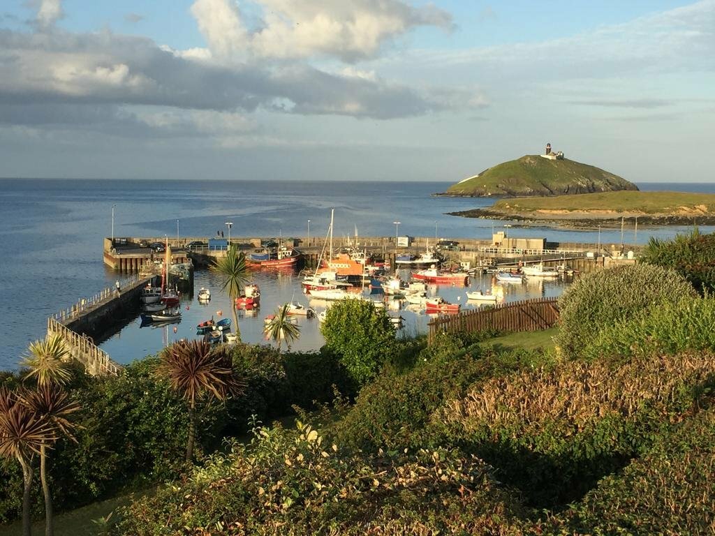 SunvilleCountry house · 1449 yd
 Castle (Site of)Castle, unclassified · 1.3 mi
 European YewEuropean Yew · 1.3 mi
 KnockbrackMountain / peak · 1.8 mi
 Bird HillMountain / peak · 2.2 mi
 Hidden Valley Pet FarmHeritage attraction · 3.2 mi