What is recorded here
In pasture, on a gentle S-facing slope c. 200m W of Kilgarvan. Overgrown ruins of a T-shaped, two-storey house constructed of random rubble; front rendered. Front elevation (S-facing) of three bays with central rectangular doorway. Rectangular window opes. Side elevation of one bay. No opes are visible at the rear. Central, two-storey, gabled, projection to rear; groundfloor doorway and window in E wall. House is gable-ended, now roofless, with a single surviving chimney off-centre to left. Rubble within the building suggests that there may have been a second chimney off-centre to the right. Very overgrown outhouse to the NE. Small outhouse abuts W end of front elevation of house.
Compiled by: Elizabeth Byrne, Ursula Egan and Sheila Ronan, Archaeological Survey Unit, University College, Cork.
Date of upload: 30 May 2011
The monument record does not grant public access. Check the route and ask the landowner before entering private land.
- What survives
- Recorded monument
Places near here
 Great Southern & Western RailwayMemorial · 128 yd
 Church (in Ruins)Church · 479 yd
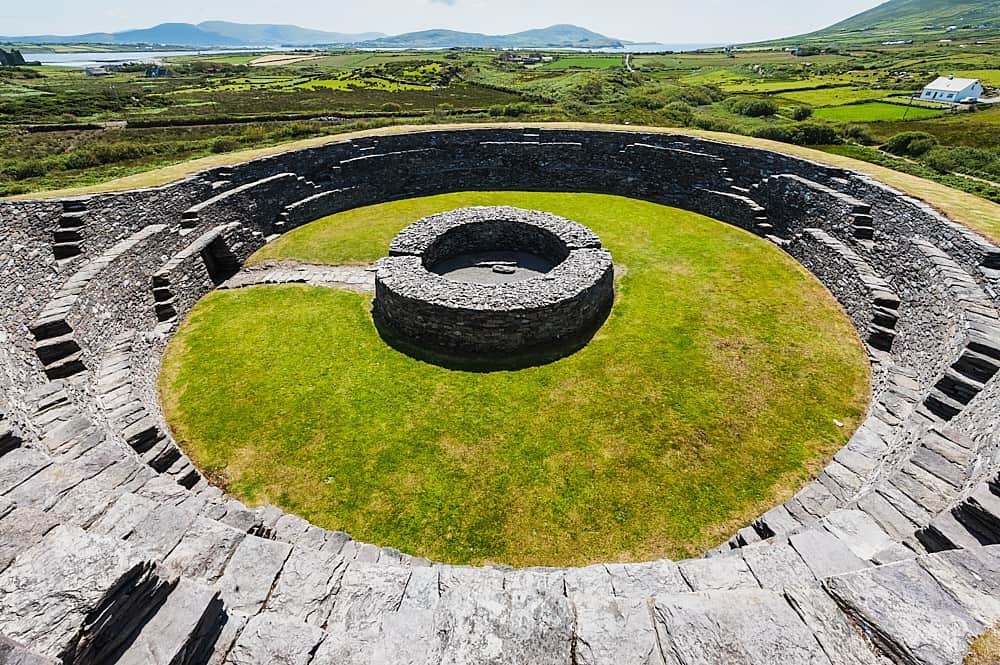 Cahergal Br.Bridge · 515 yd
 Glebe Ho.Ecclesiastical residence · 814 yd
 Holy well in KilpadderHoly well · 1079 yd
 Battle of Callannbattle · 1.1 mi
 Kilgarvan Motor MuseumMuseum · 1.2 mi
 Castle (Site of)Castle, unclassified · 1.3 mi
 European YewEuropean Yew · 1.3 mi
 Hidden Valley Pet FarmHeritage attraction · 2.4 mi
 KnockbrackMountain / peak · 2.5 mi
 Bird HillMountain / peak · 2.9 mi
Other information
Photo: Credit not shown in the picture search · Rights wording not checked; contact us if this picture should be removed