
What is recorded here
In rocky pasture on Knockadoon Peninsula. A field system and fragments of enclosures survives in a narrow N-S valley or ravine (dims. L. 600m; Wth. 50m) that separates Back Hill on the W of the peninsula from Knockmore on the E. The field systems are located to the E of a large Neolithic and Bronze Age habitation site…
Read the whole record
From the National Monuments Service (Archaeological Survey of Ireland) record LI032-022001
Places near here
Photo credits
- Maker not stated on source page, www.pinterest.com
- No machine-readable author provided. Christian1965~commonswiki assumed (based on copyright claims)., Wikimedia Commons · Public domain
- Maker not stated on source page, www.irishamerica.com
- Maker not stated on source page, www.alamy.com
- Maker not stated on source page, www.freepik.com
- Maker not stated on source page, en.wikipedia.org
- Maker not stated on source page, nexusnewsfeed.com
- Ballyhoura Failte, Wikimedia Commons · CC BY-SA 2.0
- National Inventory of Architectural Heritage
- Ruhrfisch, Wikimedia Commons · CC BY-SA 4.0
 Stone CirclesSettlement platform · 612 yd
Explorer Tom Stone Circles in Loughgur hates tourists who wear flip-flops because the mud is personal and extremely mean-spirited.…
 Áine and Gearóid Iarla: Lough GurLegend location · 708 yd
Explorer Tom Áine and Gearóid Iarla: Lough Gur has a goddess for the lake and a sleeping lord in the old stories. I thought I was…
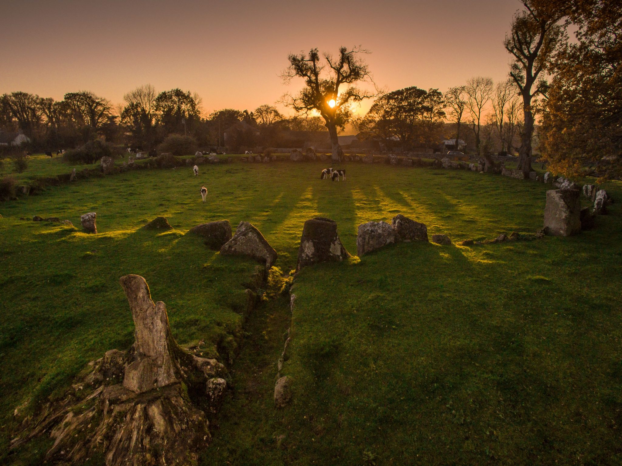 Cist in LoughgurCist · 709 yd
Explorer Tom Cist in Lough Gur loves 'Bohemian Rhapsody' because it fits right in with the rock opera vibe of being buried in a…
 Fairy fort / stone ringfort in LoughgurFairy fort / stone ringfort · 1001 yd
Explorer Tom The matchmaker who worked at this Fairy fort in Loughgur never made it to the wedding, only the ring. It sits on rocky…
 Standing stone in LoughgurStanding stone · 1015 yd
Explorer Tom Standing stone in Lough Gur would survive Big Brother by just standing still and ignoring everyone who tries to talk to…
 Stone Circles, HachuredStone circle, embanked · 1112 yd
Explorer Tom Stone Circles on the Hill of Knockroe are huddled together like old friends sharing secrets that nobody else quite…
 Stone circle in LoughgurStone circle · 1179 yd
Explorer Tom The Stone Circle in Loughgur is so quiet because the ghost living there is too lazy to haunt it properly anymore. He…
 Anomalous stone group in Grange (smallcounty By.)Anomalous stone group · 1194 yd
Explorer Tom Anomalous stone group in Grange is proud of being invisible to most people, which is a power move. It’s just magnetic…
 Giants GraveMegalithic tomb · 1248 yd
Explorer Tom Giants Grave in Ballynagallagh took forty cups of tea to build, if you ask me. The stones lean so hard they're…
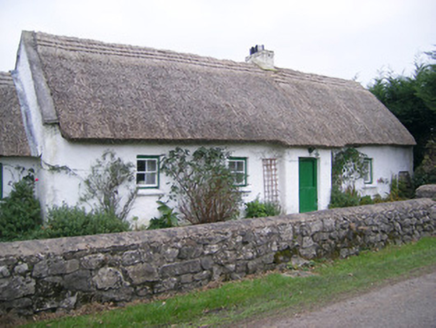 Maura's CottageHouse · 1260 yd
Explorer Tom Maura’s Cottage in Loughgur is thick on thatch and thin on privacy, so I suspect two fairies are currently fighting…
 Grange Stone CircleArchaeological place · 1339 yd
Explorer Tom Grange Stone Circle has a forty-tonne stone that makes me reconsider every complaint I have made about carrying…
 Ballynagallagh CottageHouse · 1.1 mi
Explorer Tom Ballynagallagh Cottage thinks the road leading to it is an insult to its high-quality limestone sills, which is…
More archaeology and monuments in County Limerick · All of County Limerick

What do you know about this place?Tap to add a comment or ask a question