What is recorded here
Aerial photograph (GB89.A.32) shows cropmark of a field system, possibly co-axial.
Aerial photographs (GB89.A.39) show cropmark of a field system, possibly related to an adjacent enclosure.
Compiled by: Dr Gillian Barrett for the Archaeological Survey of Ireland.
Date of upload: 10 June 2009
The monument record does not grant public access. Check the route and ask the landowner before entering private land.
- What survives
- Recorded monument
Places near here
 Enclosure in LurganboyEnclosure · 570 yd
 Enclosure in PortEnclosure · 956 yd
 Church (in ruins)Church · 1261 yd
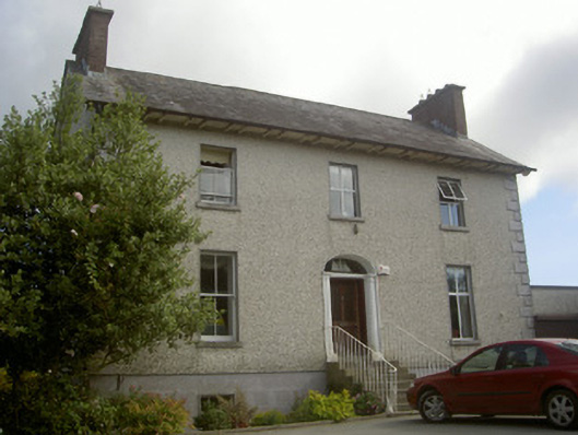 Seaview Househouse · 1.2 mi
 IndicatedCastle, tower house · 1.9 mi
 Moneyveg WoodForest · 2.2 mi
 Graveyard in DysartGraveyard · 2.4 mi
 Chapel (in Ruins), GraveyardChurch · 2.6 mi
 Sweet baySweet bay · 2.6 mi
 BarmeathCastle, tower house · 2.6 mi
 Tullydonnell HillMountain / peak · 3.1 mi
 MonasterboiceEarly monastic site · 6.6 mi