What is recorded here
On slight NE facing slope. Aerial photographs (CUCAP AYL 29, AYL 30) show cropmarks of rectangular fields adjacent to enclosure site (CW008-040----) and possible moated site (CW008-052001-). No visible surface traces when inspected by ASI in 1987.
Compiled by: Claire Breen
Date of upload: 19 August 2011
The monument record does not grant public access. Check the route and ask the landowner before entering private land.
- What survives
- Recorded monument
Places near here
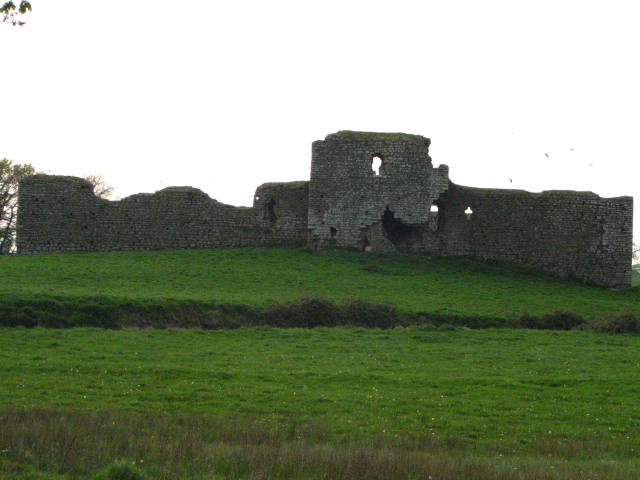 Enclosure in Inchisland OR MoatalushaEnclosure · 150 yd
 Saint Patrick's Catholic Churchchurch/chapel · 1234 yd
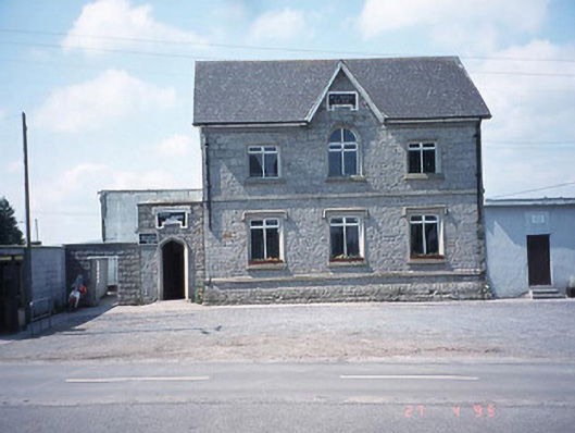 school master's houseschool master's house · 1256 yd
 Enclosure in Kellistown EastEnclosure · 1368 yd
 Site of CastleCastle, unclassified · 1.5 mi
 Kilmurry Church (in ruins), GraveyardChurch · 1.8 mi
 Ballynunnery Castle in ruinsCastle, unclassified · 2.1 mi
 Church (in ruins), GraveyardChurch · 3.3 mi
 Pedunculate OakPedunculate Oak · 3.4 mi
 European ashEuropean ash · 3.5 mi
 Duckett's GroveHeritage attraction · 4.2 mi
 Brownshill Portal TombVisitor information · 4.3 mi