What is recorded here
Gowran Demesne holds a forgotten field system on flat ground, with linear cropmarks running northeast to southwest eastward from the tower house and bawn. The marks predate the 1839 Ordnance Survey map, proving that people divided and used this land long before modern boundaries appeared. They vanished from human memory but remained visible in crop growth, waiting for an aerial camera in 1969 to reveal what the ground still remembered.
On flat level ground within Gowran demesne. A number of linear cropmarks are visible on an aerial photograph (CUCAP AYK080, 9 July 1969) in a field running eastward from a tower house (KK020-060001-) and bawn (KK020-060002-). The cropmarks, running roughly NE-SW, appear to predate the 1st (1839) ed. OS 6-inch map and relate to an earlier field pattern.
See attached aerial photographs:
KK020-060003-_01 CUCAP AYK080, 9 July 1969
Compiled by: Jean Farrelly
Date of upload: 1 March 2021
The monument record does not grant public access. Check the route and ask the landowner before entering private land.
- What survives
- Recorded monument
Places near here
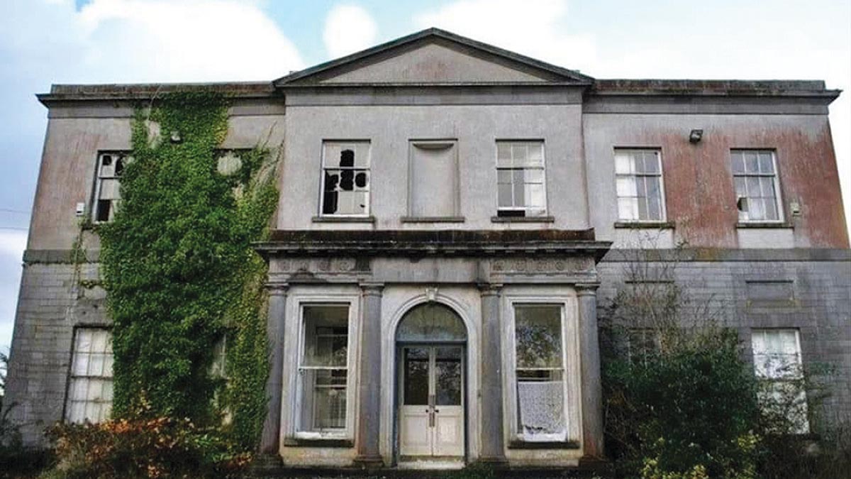 Bawn in Gowran DemesneBawn · 133 yd
 Ballyshanemore Cas. (in ruins)Castle, tower house · 166 yd
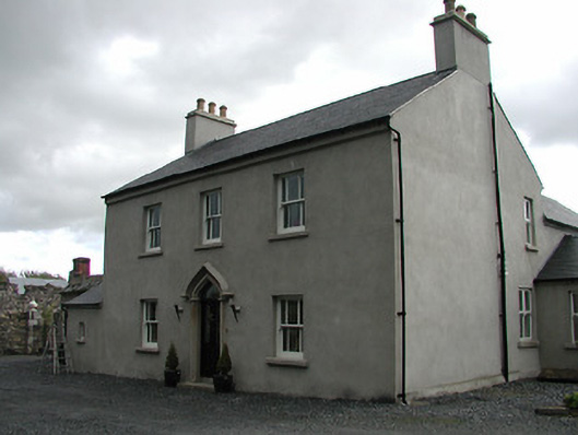 Mill Housemiller's house · 310 yd
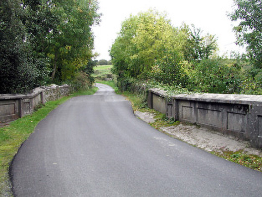 bridgebridge · 317 yd
 Font in GowranFont · 596 yd
 CrossCross, Market cross (present location) · 619 yd
 Red BogForest · 2.0 mi
 The Pey FieldForest · 2.9 mi
 Tullaherin Church and Round TowerVisitor information · 4.1 mi
 St. Mogarra’s WellSpring · 4.8 mi
 Kilbline GraveyardArchaeological place · 5.0 mi
 Time CapsuleMemorial · 5.3 mi