What is recorded here
On flat level ground within Gowran demesne. A number of linear cropmarks are visible on an aerial photograph (CUCAP AYK080, 9 July 1969) in a field running eastward from a tower house (KK020-060001-) and bawn (KK020-060002-). The cropmarks, running roughly NE-SW, appear to predate the 1st (1839) ed. OS 6-inch map and relate to an earlier field pattern.
See attached aerial photographs:
KK020-060003-_01 CUCAP AYK080, 9 July 1969
Compiled by: Jean Farrelly
Date of upload: 1 March 2021
The monument record does not grant public access. Check the route and ask the landowner before entering private land.
- What survives
- Recorded monument
Places near here
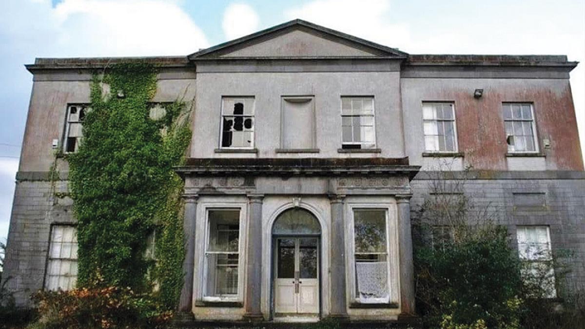 Bawn in Gowran DemesneBawn · 133 yd
 Ballyshanemore Cas. (in ruins)Castle, tower house · 166 yd
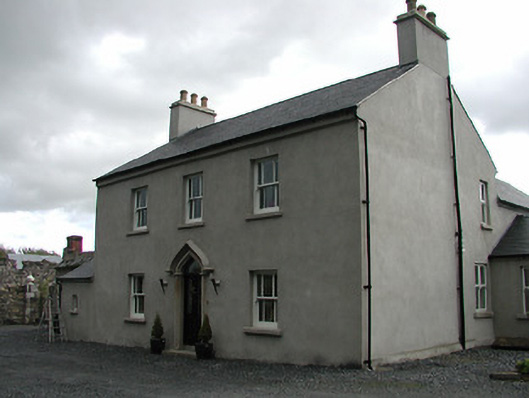 Mill Housemiller's house · 310 yd
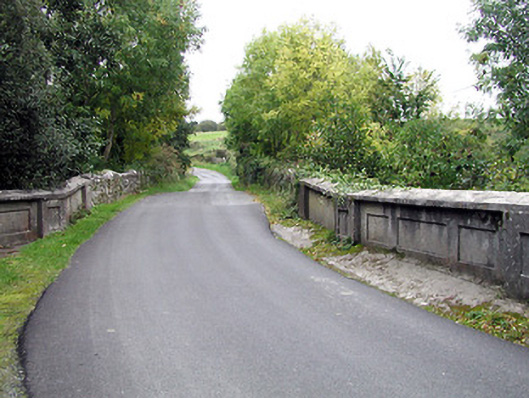 bridgebridge · 317 yd
 Font in GowranFont · 596 yd
 CrossCross, Market cross (present location) · 619 yd
 Red BogForest · 2.0 mi
 The Pey FieldForest · 2.9 mi
 Tullaherin Church and Round TowerVisitor information · 4.1 mi
 St. Mogarra’s WellSpring · 4.8 mi
 Kilbline GraveyardArchaeological place · 5.0 mi
 Time CapsuleMemorial · 5.3 mi