
What is recorded here
Blanket bog covers the E slopes of a low mountain, located directly SE of Glan Lough, where a complex of pre-bog walls occurs. Some of the walls are composed of lines of boulders, with some upright slabs, while others take the form of low, stony banks up to 3m wide. The walls disappear intermittently beneath the boggy surface, but elsewhere protrude .5m above it. A number of small rectilinear fields are apparent within the complex, and a rough enclosure (KE107-006001-), 10.4m x 8.5m in overall dimensions, is located towards its S end.
The above description is derived from A. O'Sullivan and J. Sheehan (compilers), 'The Iveragh peninsula: an archaeological survey of South Kerry'. Cork University Press (1996), no. 51. In certain instances the entries have been revised and updated in the light of recent research.
Date of upload: 28 July 2013
The monument record does not grant public access. Check the route and ask the landowner before entering private land.
- What survives
- Recorded monument
Places near here
 Man-made underground passage in ArdmoreMan-made underground passage · 1105 yd
 Liss CashelArchaeological place · 1244 yd
 IllaundraneIslet · 1.0 mi
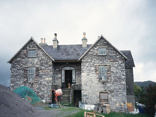 Scart Househouse · 1.5 mi
 Cowlagh (in Ruins)Church · 1.5 mi
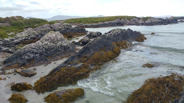 White StrandBeach / strand · 1.5 mi
 2Cliff · 1.7 mi
 Cnoc na StéigeMountain / peak · 1.7 mi
 Cnoc na Stéige (mullach thoir thuaidh)Mountain / peak · 1.7 mi
 Castle Cove (in Ruins)Castle, tower house · 1.9 mi
 Coral BeachBeach / strand · 2.8 mi
 Sherky IslandIslet · 4.3 mi
Other information
Photo: Credit not shown in the picture search · Rights wording not checked; contact us if this picture should be removed