
What is recorded here
In rough hill pasture, on a S-facing slope overlooking the valley of the Coomeelan stream. The remains of mainly curvilinear stretches of stone walls (T 1m; H 0.5m) which protrude intermittently above the surface of the bog in an area measuring c. 500m E-W x c. 300m N-S. The surviving walls, with numerous gaps, indicate fields of varying shapes and sizes. Two enclosures (KE103-020002-, KE103-020008-) and nine hut sites (KE103-020003-, KE103-020004-, KE103-020005-, KE103-020006-, KE103-020007-, KE103-020010-, KE103-020011-, KE103-020012-, KE103-020013-) are within the field system.
The above description is derived from the published 'Archaeological Inventory of County Kerry. Volume I: South-West Kerry' (Dublin: Stationery Office, 2009). In certain instances the entries have been revised and updated in the light of recent research.
Date of upload: 30 May 2011
The monument record does not grant public access. Check the route and ask the landowner before entering private land.
- What survives
- Recorded monument
Places near here
 Megalithic structure in GearhanagoulMegalithic structure · 282 yd
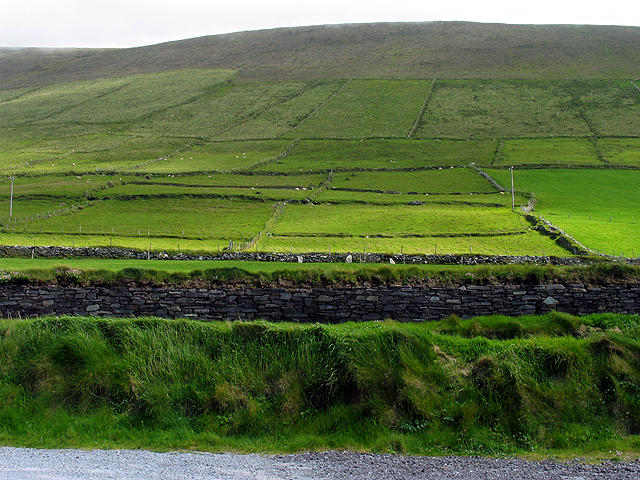 Field system in GearhanagoulField system · 440 yd
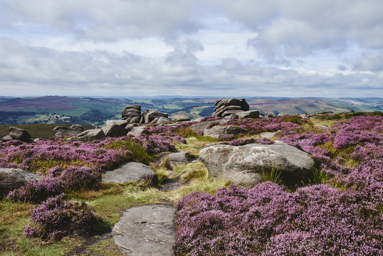 DrehidoughteraghBridge · 969 yd
 KilnKiln, lime · 1222 yd
 The Priests LeapViewpoint · 1.3 mi
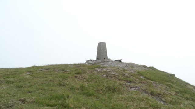 Knockboy North TopMountain / peak · 1.3 mi
 The Priest's LeapMountain / peak · 1.6 mi
 Bullaun StoneHeritage attraction · 2.1 mi
 Bonane Heritage ParkMuseum · 2.2 mi
 CaoinkeenCliff · 2.2 mi
 Tasmanian bluegumTasmanian bluegum · 4.9 mi
 Daly's LoopWalking route · 5.0 mi
Other information
Photo: Credit not shown in the picture search · Rights wording not checked; contact us if this picture should be removed