
What is recorded here
In rough pasture, on a S-facing slope overlooking Coomeelan stream. A large, mainly flat-topped, sandstone boulder (3.3m x 1.6m; H 0.55m) rests on at least three separate support-stones. The W side of the boulder is obscured by an upsloping peaty bank. The support under the SE corner consists of three stones set on top of each other, compensating for the downsloping ground. Two enclosures (KE102-041----, KE102-041001-) lie c. 5m to the W and c. 11m to the SW, respectively. A fulacht fia (KE102-041004-) lies c. 30m to the S and another enclosure (KE102-041003-) is c. 60m to the SW.
The above description is derived from the published 'Archaeological Inventory of County Kerry. Volume I: South-West Kerry' (Dublin: Stationery Office, 2009). In certain instances the entries have been revised and updated in the light of recent research.
Date of upload: 30 May 2011
The monument record does not grant public access. Check the route and ask the landowner before entering private land.
- What survives
- Recorded monument
Places near here
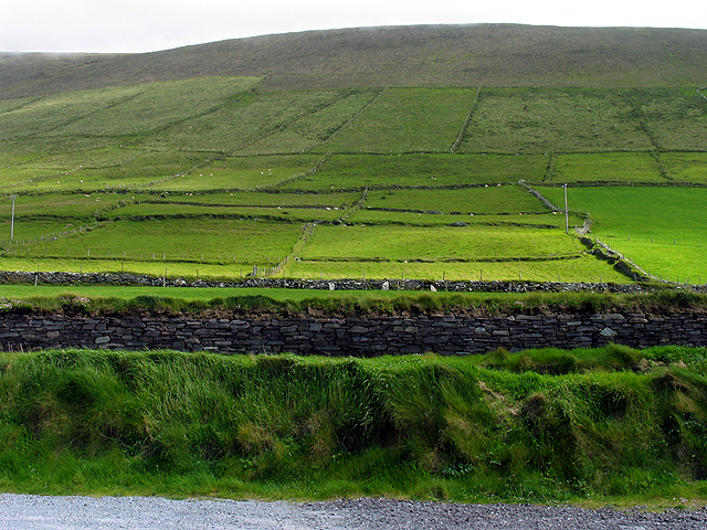 Field system in GearhanagoulField system · 236 yd
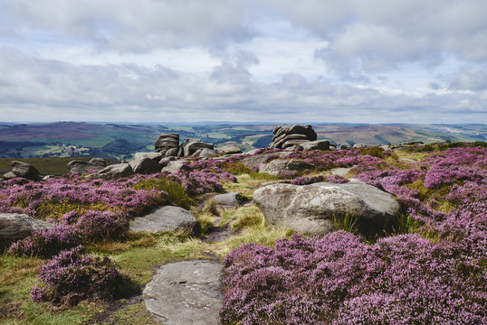 DrehidoughteraghBridge · 702 yd
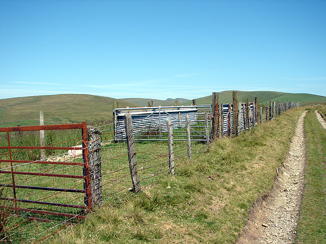 SheepfoldsEnclosure · 839 yd
 KilnKiln, lime · 1177 yd
 The Priests LeapViewpoint · 1.3 mi
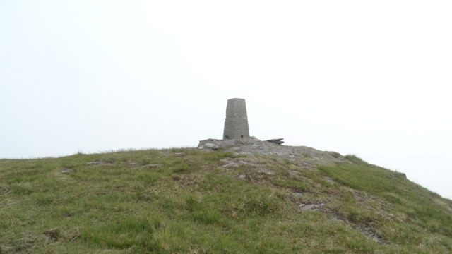 Knockboy North TopMountain / peak · 1.5 mi
 The Priest's LeapMountain / peak · 1.5 mi
 Bullaun StoneHeritage attraction · 2.0 mi
 Bonane Heritage ParkMuseum · 2.1 mi
 CaoinkeenCliff · 2.4 mi
 Tasmanian bluegumTasmanian bluegum · 4.8 mi
 Calf IslandIslet · 4.9 mi
Other information
Photo: Credit not shown in the picture search · Rights wording not checked; contact us if this picture should be removed