
What is recorded here
In pasture, at the foot of a steep N-facing slope. The partly grassed-over ruins of a limekiln (3.4m N-S; 3.4m E-W), cut into the slope at S. The front (H c. 1.6m) faces N. Some of the stone in the collapsed recess (diam. c. 1.8m) displays heat cracks.
Compiled by: Elizabeth Byrne, Ursula Egan and Sheila Ronan, Archaeological Survey Unit, University College, Cork.
Date of upload: 30 May 2011
The monument record does not grant public access. Check the route and ask the landowner before entering private land.
- What survives
- Recorded monument
Places near here
 Field system in ErneenField system · 894 yd
 DrehigeighteraghBridge · 952 yd
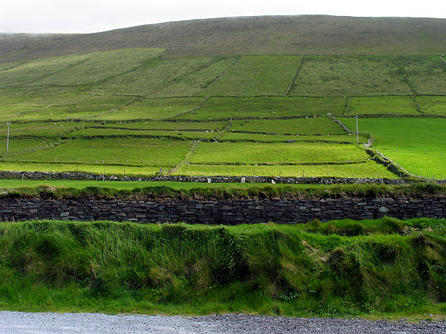 Field system in GearhanagoulField system · 966 yd
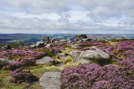 DrehidoughteraghBridge · 1098 yd
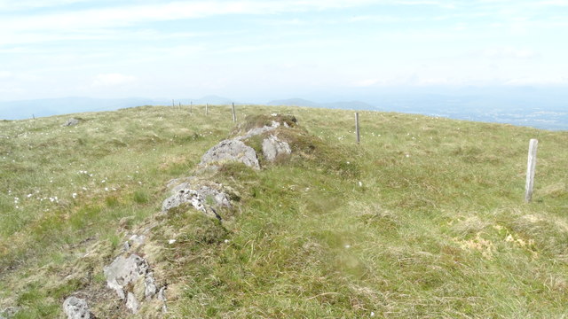 KnocknamanaghMountain / peak · 1.4 mi
 Bullaun StoneHeritage attraction · 1.5 mi
 Bonane Heritage ParkMuseum · 1.6 mi
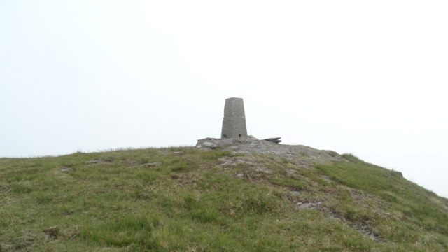 Knockboy North TopMountain / peak · 1.8 mi
 The Priests LeapViewpoint · 2.0 mi
 CaoinkeenCliff · 2.2 mi
 CastleCastle, unclassified · 5.0 mi
 Battle of Callannbattle · 5.0 mi
Other information
Photo: Credit not shown in the picture search · Rights wording not checked; contact us if this picture should be removed