What is recorded here
Listed in both the SMR (1989) and RMP (1995) and classified 'Field wall (s). A network of roughly rectangular fields are visible in an aerial photograph (ACP V 203/185-4, Roll 125, Pr. 29) in the vicinity of a rath (SL019-165001-). These are not marked on the 1837 edition of the OS 6-inch map. A series of relatively large irregularly fields are shown on the 1913 edition. These are relatively modern and there is no evidence to suggest that their boundaries are underlain by the field boundaries visible on the aerial photograph. It was concluded that this field system is post-1700 AD in date.
Compiled by: Archaeological Survey Unit, UCC
Date of upload: 12 December 2011
The monument record does not grant public access. Check the route and ask the landowner before entering private land.
- What survives
- Recorded monument
Places near here
 Enclosure in CrockacullionEnclosure · 178 yd
 TobercalleenHoly well · 225 yd
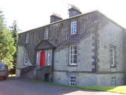 Toberfeckin Houserectory/glebe/vicarage/curate's house · 1636 yd
 DoomoreMountain / peak · 1742 yd
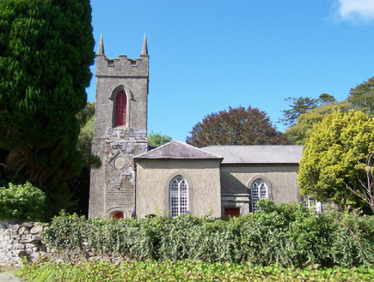 Christ Church (Dromard)church/chapel · 1.0 mi
 Derinch PointHeadland · 1.1 mi
 RinnatalleenHeadland · 1.1 mi
 Bawn in Tanrego WestBawn · 1.5 mi
 Tullaghan HillMountain / peak · 1.8 mi
 European ashEuropean ash · 2.3 mi
 CarrigeenfaddaIslet · 2.3 mi
 Giant's GraveArchaeological place · 2.6 mi