What is recorded here
Identified during an aerial photographic survey by Dr. Gillian Barrett in 1989 and 1991. Aerial photographs (GB89.X.12 (1989) and GB91.EA.13 (1991)) show the cropmarks of an oval enclosure (KD034-022----) defined by a fosse, abutted at E and N by a possible field system.
Compiled by: Gillian Barrett
Date of upload: 12 December 2011
The monument record does not grant public access. Check the route and ask the landowner before entering private land.
- What survives
- Recorded monument
Places near here
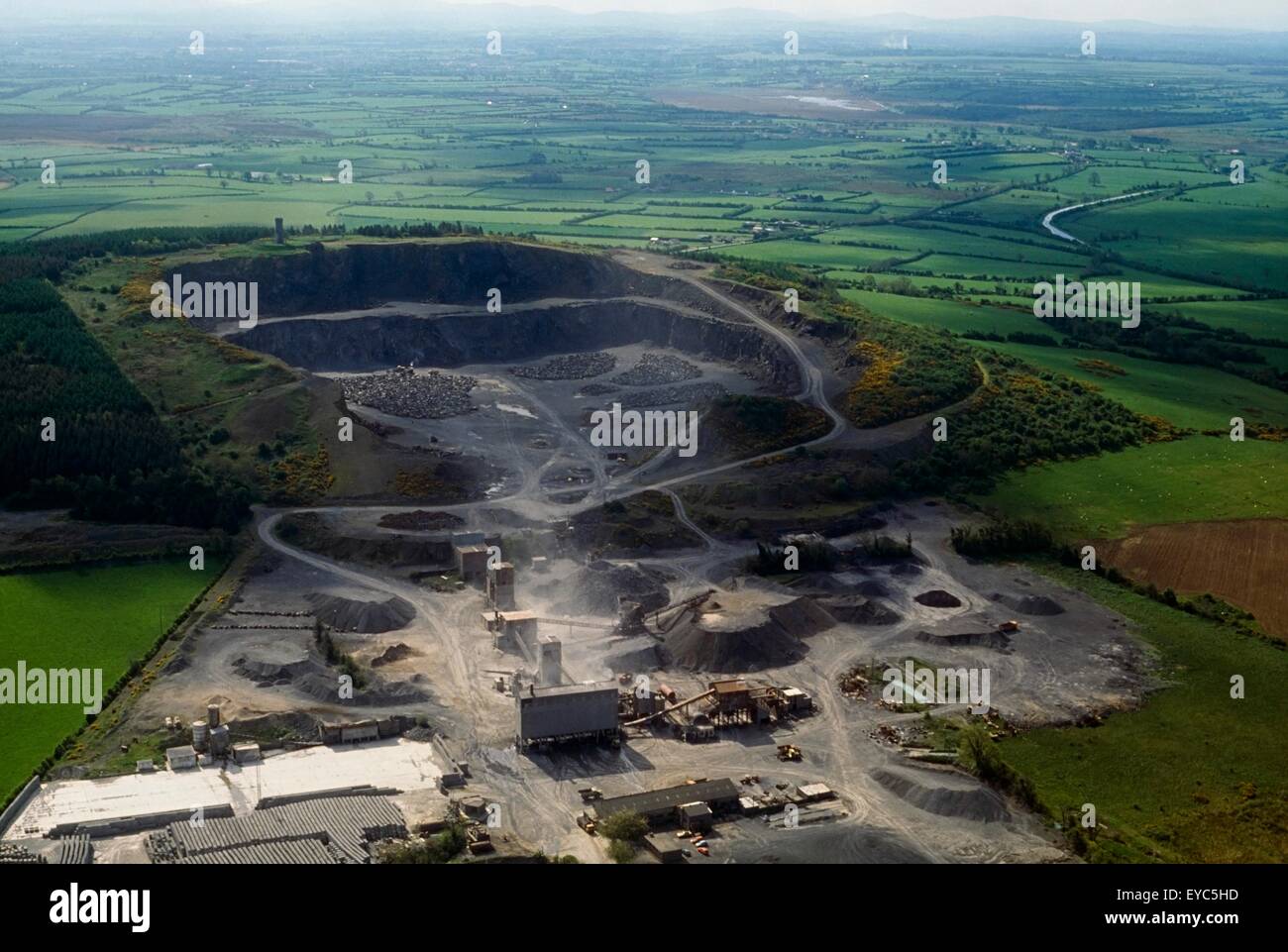 Enclosure in QuarryEnclosure · 580 yd
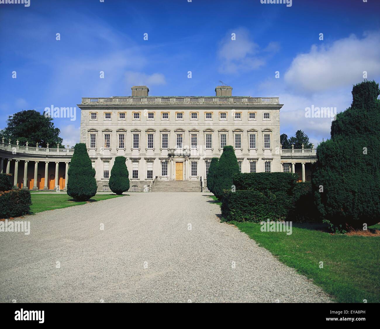 Enclosure in CoolroeEnclosure · 704 yd
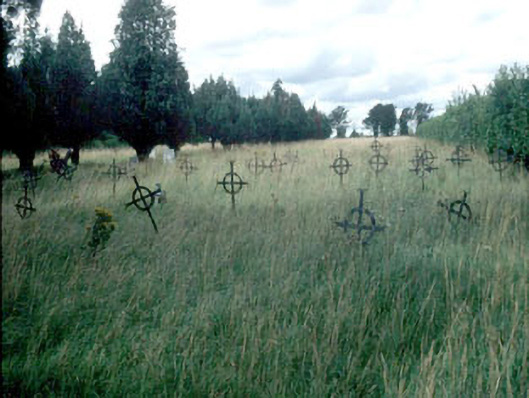 Saint Mary's Burial Groundgraveyard/cemetery · 1.1 mi
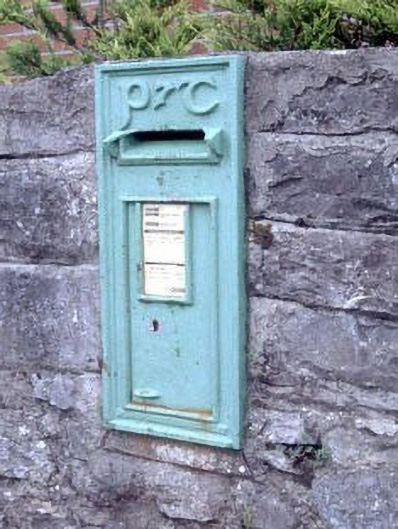 post boxpost box · 1.1 mi
 Woodstock Castle (in Ruins)Castle, hall-house · 1.4 mi
 Woodstock CastleRuins · 1.4 mi
 Gone FishingMemorial · 1.4 mi
 Ernest ShackletonMemorial · 1.6 mi
 Town HallMuseum · 1.6 mi
 Brackney WoodForest · 2.5 mi
 Scots PineScots Pine · 3.5 mi
 Cobbler's Castle WalkWalking route · 4.1 mi