What is recorded here
Located in low-lying pastureland, W of a stream that forms part of the townland boundary around Saggart village. An aerial photograph (FSI 285/6) taken in 1971 shows small conjoined irregular fields defined by low earthworks running on a different axis to the fields in which they appear. This area has since been landscaped for the creation of a golf course. There are no visible remains at ground level.
From the National Monuments Service (Archaeological Survey of Ireland) record DU021-032
This remains an important historical record, but the official description says the monument is no longer visible or has been destroyed. The monument record does not grant public access. Check the route and ask the landowner before entering private land.
- What survives
- No visible remains or recorded as destroyed
Places near here
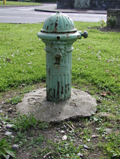 water pump346 yd
 post box380 ydMeadow WildlifeVisitor information · 515 ydCastleCastle, tower house · 626 ydFont (present location) in SaggartFont (present location) · 716 ydFulacht fia in Moneyatta CommonsFulacht fia · 885 ydRathcoole WoodlandWood · 1316 yd
 CastleCastle, tower house · 2.6 mi
 European Yew2.6 mi
 Grand Canal WayWalking route · 3.1 mi
 Griffeen Valley WalkWalking route · 4.1 mi
 Cupidstown HillMountain / peak · 4.5 mi
Pictures: National Inventory of Architectural Heritage; Mike Searle, Geograph · CC BY-SA 2.0; Sitomon, Wikimedia Commons · CC BY-SA 2.0; JP, Geograph · CC BY-SA 2.0; jwd, Geograph · CC BY-SA 2.0; Colin Park, Geograph · CC BY-SA 2.0
More archaeology and monuments in County Dublin · All of County Dublin
What do you know about this place?