What is recorded here
Situated in level pasture immediately to the E and SE of, and overlooked by, a rath (SL011-090001). The field system consists of a roughly rectangular area (34m NW-SE; 21m NE-SW) defined by a banks of earth and stone (Wth 1.6m; H 0.4m). The NE side is defined by a low meandering earth and stone bank that links to the bank of Clooneen rath at its NW end and to a roughly N-S orientated field boundary at the SE end. The SE side is defined by a linear scarped edge (H 0.3m). The SW side is defined by a low earth and stone bank. From W-NW, the limit of the system is defined by the bank of the rath. The larger rectangular area is divided by relic boundary consisting of a NE-SW orientated SE facing scarp (L 16.6m; H 0.4m) topped with small rubble boulders extending NE from midway along the SW side of the larger area. At the SE corner of the larger area is a hut site (SL011-090006-) and two smaller fields. The first field is a roughly semi-circular area (10m NW-SE; 10m NE-SW) defined by a low earthen bank (Wth 1.6m; H 0.4m) lying to the W of the hut site. The second field lies to the NE of the hut site and consists of a raised rectangular area (12m NW-SE; 5m NE-SW) defined by an earth and stone bank (Wth 1.6m; int. H 0.3m).
Compiled by: Mark Keegan
Date of upload: 19 January 2011
The monument record does not grant public access. Check the route and ask the landowner before entering private land.
- What survives
- Recorded monument
Places near here
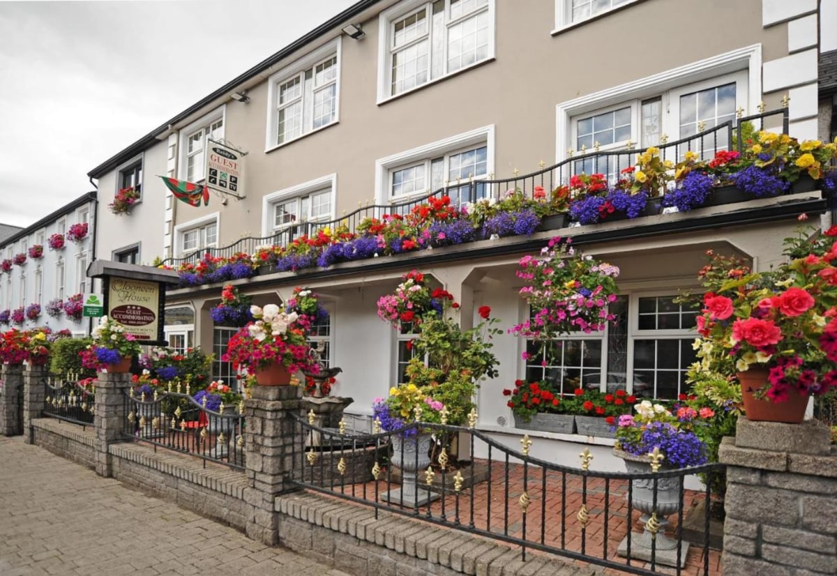 Enclosure in Clooneen (tireragh By.)Enclosure · 219 yd
 IndicatedFairy fort / earthen ringfort · 321 yd
 Ballynahowna CastleCastle, tower house · 662 yd
 CastleCastle, motte · 876 yd
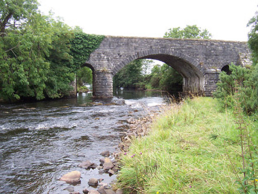 bridgebridge · 1257 yd
 Dromore West Union WorkhouseRuins · 1282 yd
 Split RockNamed rock · 1.3 mi
 Cooanmore PointHeadland · 2.6 mi
 Jim Smith MemorialMemorial · 2.7 mi
 Wild Atlantic Way: Easky PierVisitor information · 2.9 mi
 Wild Atlantic Way: Inishcrone PierVisitor information · 7.5 mi
 Grave of the Black PigArchaeological place · 7.8 mi