
Places near here
Photo credits
- National Inventory of Architectural Heritage
- Golfing in Ireland; photographer not stated, Source publisher
- Darren J. Prior, Wikimedia Commons
- Maker not stated on source page, www.flickr.com
- 瑞丽江的河水, Wikimedia Commons · CC BY-SA 4.0
- Darrin Antrobus, Geograph · CC BY-SA 2.0
- Irishrover1980, Wikimedia Commons · CC BY-SA 4.0
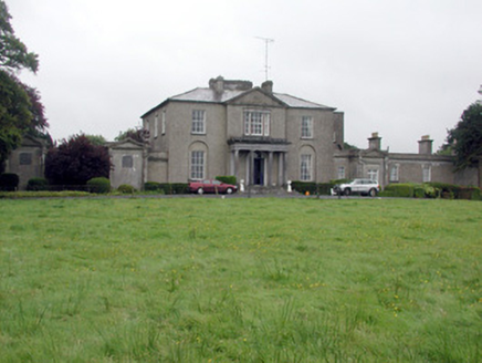 Carrowroe ParkCountry house · 436 yd
Explorer Tom Carrowroe Park in County Roscommon has a Doric portico and a crenellated bellcote that really shouldn’t be on a country…
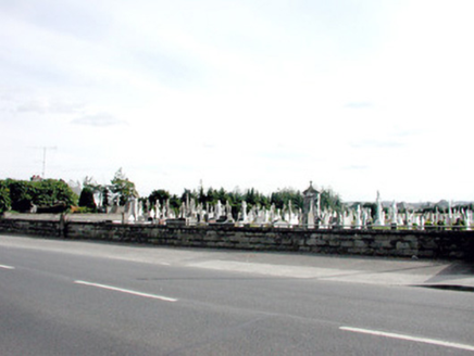 Saint Coman's CemeteryGraveyard/cemetery · 1062 yd
Explorer Tom Saint Coman's Cemetery in Ardsallagh Beg smells like old roses and regret, which is exactly how Tom likes his history…
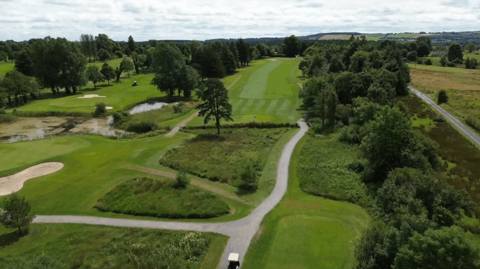 Roscommon Golf ClubGolf course · 1133 yd
 Dr Hyde ParkGAA ground · 1212 yd
Explorer Tom Dr Hyde Park sounds like a physician who might diagnose a team’s nerves from the touchline. The real medicine is a…
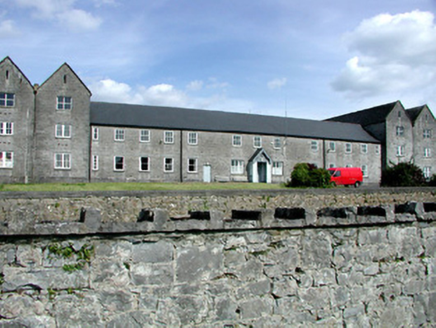 Sacred Heart HospitalWorkhouse · 1432 yd
Explorer Tom Sacred Heart Hospital in Ardsallagh Beg was originally a workhouse, which is a lovely way to say 'where people went…
 TombTomb, unclassified · 1.1 mi
Explorer Tom Tomb in Ballypheasan is just two panels from another tomb, now missing entirely, which is a bit like losing half your…
 AbbeyReligious house, Dominican friars · 1.1 mi
Explorer Tom Abbey in Ballypheasan was built after someone wrote a bad poem about it, which is honestly more impressive than the…
 graveyard/cemetery1.1 mi
Explorer Tom Graveyard or cemetery in Ballypheasan is where the dead stopped paying rent in 1912 because St Coman's offered better…
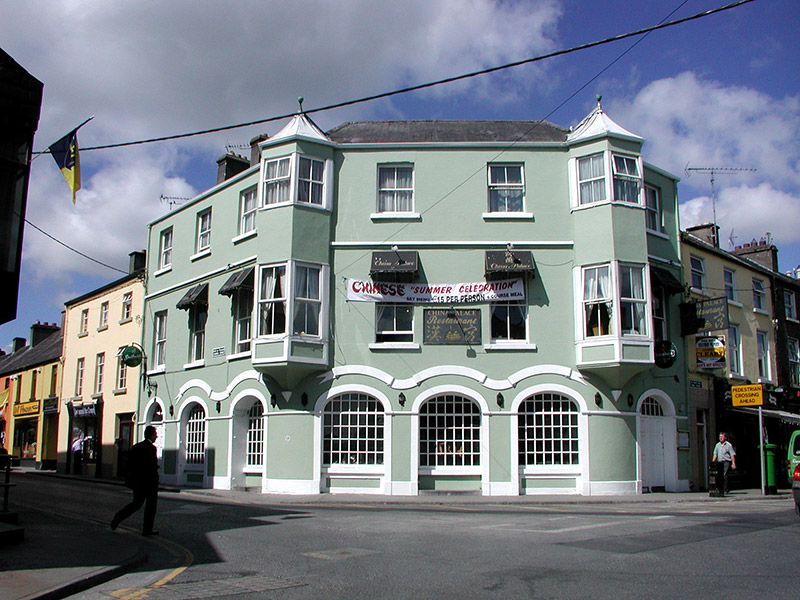 hotel1.2 mi
Explorer Tom Hotel in Ardnanagh claims a fake royal visit happened here in 1923 that nobody can officially disprove. It’s got oriel…
 The AbbeyHouse · 1.2 mi
Explorer Tom The Abbey in Ballypheasan is having a rivalry with the real Abbey ruins nearby, insisting that its turrets are far more…
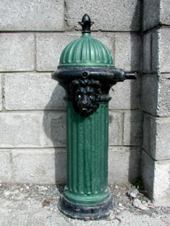 Historic buildingOfficially recorded historic building · 1.2 mi
Explorer Tom Historic building in Ballypheasan is basically a fancy water tap pretending it's an architect. The local sheep have…
 Roscommon CastleCastle · 1.5 mi
Explorer Tom Roscommon Castle in County Roscommon would explain the 1800s to a teenager by saying, 'Imagine your mum's house, but…
More archaeology and monuments in County Roscommon · All of County Roscommon

What do you know about this place?Tap to add a comment or ask a question