
What is recorded here
From the National Monuments Service (Archaeological Survey of Ireland) record GA096-181
Places near here
Photo credits
- National Inventory of Architectural Heritage
- Maker not stated on source page, www.pinterest.com
- Mac McCarron, Geograph · CC BY-SA 2.0
- Maker not stated on source page, commons.wikimedia.org
- Maker not stated on source page, en.wikipedia.org
- Maker not stated on source page, monumentalireland.ie
- Maker not stated on source page, www.flickr.com
- Maker not stated on source page, tr.pinterest.com
- Mike Searle, Wikimedia Commons · CC BY-SA 2.0
 Ratty's BridgeBridge · 723 yd
Explorer Tom Ratty's Bridge in Rathgorgin would win a county fair for best dressed stone structure if there was such a category. The…
 Hollypark HouseDemesne walls/gates/railings · 798 yd
Explorer Tom Hollypark House walls in Hollypark refuse to fall down because they’re holding a grudge against gravity. The ashlar…
 Rathgorgin Castle (in ruins)Castle, unclassified · 926 yd
Explorer Tom Rathgorgin Castle is in a quiet rivalry with a much more famous place down the road, but it’s losing badly. Nobody…
 Catholic Church of the Immaculate ConceptionChurch/chapel · 934 yd
Explorer Tom Catholic Church of the Immaculate Conception thinks it’s a classic from the 1800s, but it’s actually a modern kid in a…
 Kilconieran GraveyardGraveyard · 987 yd
Explorer Tom Kilconieran Graveyard was built by a man who kept changing the layout because he couldn't make up his mind. The stones…
 Wedge tomb in LissalondoonWedge tomb · 1012 yd
Explorer Tom Wedge tomb in Lissalondoon has a celebrity friend who is definitely not a Viking, but maybe a very confused sheep…
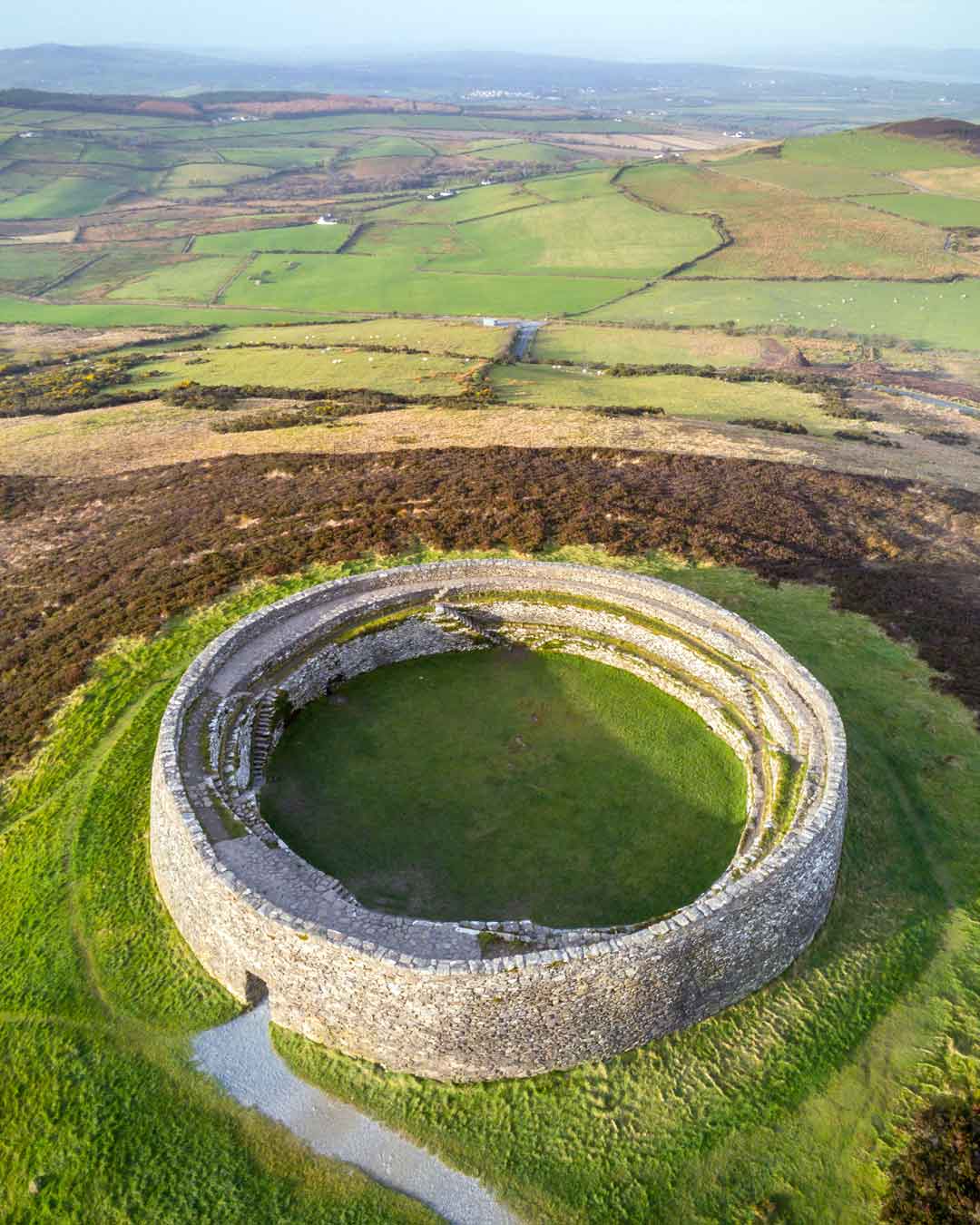 Fairy fort / stone ringfort in Glebe (dunkellin By.)Fairy fort / stone ringfort · 1591 yd
Explorer Tom Fairy fort / stone ringfort in Glebe has vanished into thin air, leaving only its ego behind. If it won the lotto, it’d…
 Fairy fort / stone ringfort in LissalondoonFairy fort / stone ringfort · 1618 yd
Explorer Tom Fairy fort / stone ringfort in Lissalondoon has a collapsed wall that is now covered by another wall, which is just…
 rectory/glebe/vicarage/curate's house1632 yd
Explorer Tom Rectory in Glebe near Dunkellin had an escape plan involving a carriage and a lot of dramatic sighing from the first…
 Fairy fort / earthen ringfort in Garrankyle WestFairy fort / earthen ringfort · 1731 yd
Explorer Tom Fairy fort / earthen ringfort in Garrankyle West used to be a fort, now it's mostly a silage pit. The first owner must…
 Fairy fort / earthen ringfort in LissalondoonFairy fort / earthen ringfort · 1.0 mi
Explorer Tom Fairy fort / earthen ringfort in Lissalondoon has a laneway cutting right through it, which is rude, like walking…
 Castle (in ruins)Castle, tower house · 1.4 mi
Explorer Tom Castle at Dunsandle is playing hard to get. If it hit the lotto, I bet it’d just buy a really big hat and nap in the…
More archaeology and monuments in County Galway · All of County Galway

What do you know about this place?Tap to add a comment or ask a question