What is recorded here
Garrankyle West once held a broad earthen ring, forty-five metres across, but human hands have already erased most of it. A silage pit swallowed the centre before a shed took the whole site, leaving only a curious field boundary to hint at the lost circle. The fort has become a fairy story literally: big enough to forget, small enough to lose, and gone fast enough that nobody remembers exactly when it disappeared.
In recently cleared farmland. Classified by McCaffrey (1952, 157, no. 44) as a roughly circular 'Earthen fort' (c. 45.7m E-W; c. 30.5m N-S) which was 'much obscured by rubble and trees'. On inspection in June 1983 no visible surface trace of it survived and a silage pit occupied its interior. Aerial imagery (https://binged.it/2wQ0Fvi, last accessed 7 September 2018) shows that a shed now occupies the site. The field boundary curving around it from SSW through N to NE may mirror the line of the enclosing element of the rath.
Compiled by: Galway Archaeological Survey, UCG
Date of upload: 7 September 2018
The monument record does not grant public access. Check the route and ask the landowner before entering private land.
- What survives
- Recorded monument
Places near here
 Hollypark Housecountry house · 598 yd
 rectory/glebe/vicarage/curate's houserectory/glebe/vicarage/curate's house · 824 yd
 IndicatedFairy fort / stone ringfort · 975 yd
 Caher CastleCastle · 1541 yd
 Pete’s CastleCastle · 1635 yd
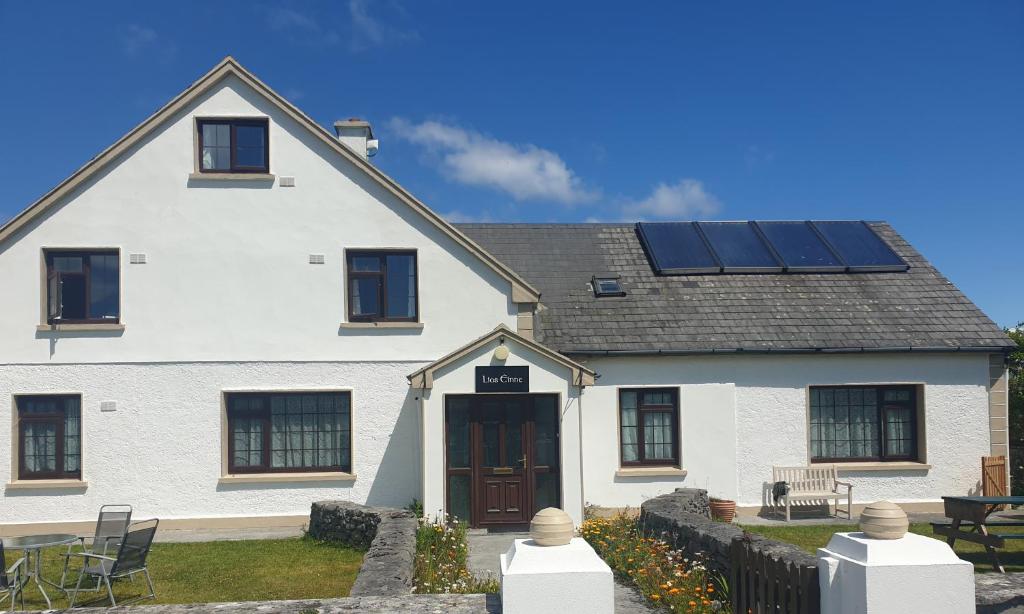 Lios na GalFairy fort / earthen ringfort · 1701 yd
 Moyard WoodWood · 1.6 mi
 Athenry AbbeyHeritage attraction · 4.4 mi
 Athenry CastleHeritage attraction · 4.5 mi
 Horse-chestnutHorse-chestnut · 4.7 mi
 First Battle of Athenrybattle · 5.2 mi
 Blake's IslandIslet · 5.3 mi