What is recorded here
In recently cleared farmland. Classified by McCaffrey (1952, 158, no. 45) as a circular ‘Stone fort’ (diam. c. 38m) defined by a drystone wall. No visible surface trace survives.
Compiled by: Galway Archaeological Survey, UCG
Date of upload: 22 December 2017
The monument record does not grant public access. Check the route and ask the landowner before entering private land.
- What survives
- Recorded monument
Places near here
 rectory/glebe/vicarage/curate's houserectory/glebe/vicarage/curate's house · 89 yd
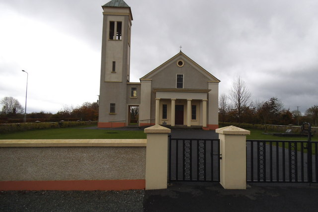 Catholic Church of the Immaculate Conceptionchurch/chapel · 675 yd
 IndicatedFairy fort / stone ringfort · 850 yd
 Badhbunmore Castle (in ruins)Castle, unclassified · 1529 yd
 Castle (in ruins)Castle, tower house · 1758 yd
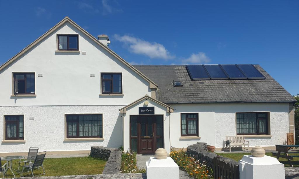 Lios na GalFairy fort / earthen ringfort · 1.1 mi
 Moyard WoodWood · 2.0 mi
 Turoe StoneHeritage attraction · 4.5 mi
 Athenry AbbeyHeritage attraction · 4.8 mi
 Blake's IslandIslet · 4.9 mi
 Horse-chestnutHorse-chestnut · 5.1 mi
 Barrack IslandIslet · 5.2 mi