What is recorded here
In reclaimed pasture, encompassing a small E–SW ridge and the lands to S and E of the ridge. To S is an area of boggy ground with a small turlough. When inspected in 1984 this field system consisted of a series of low banks forming rectilinear fields. Within the field system were two cashels (MA121-153001-; MA121-153002-) and two house sites (MA121-153003-; MA121-153007-) and a possible hut site (MA121-153004-) (SMR file). It was also recorded in a series of aerial photographs (CUCAP BDT 68, 69, 70, 88, 89; GSI M 196, print 19-20) in which cultivation ridges are visible in many of the small field plots. (SMR file). It was levelled during reclamation (Lavelle 194, 76, no 565).
Compiled by: Jane O'Shaughnessy
Date of upload: 14 January 2015
The monument record does not grant public access. Check the route and ask the landowner before entering private land.
- What survives
- Recorded monument
Places near here
 Enclosure in MoorgagaghEnclosure · 533 yd
 Abbey in ruinsReligious house, Franciscan Third Order Regular · 665 yd
 IndicatedEnclosure · 1092 yd
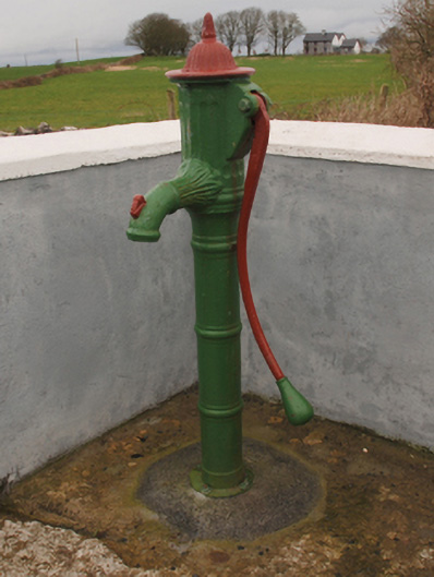 water pumpwater pump · 1314 yd
 Castle in ruinsCastle, tower house · 1351 yd
 Mocorha CastleCastle · 1.5 mi
 Cregg PlantationForest · 1.5 mi
 Pesooge PlantationForest · 2.1 mi
 Ross Errilly FriaryHeritage attraction · 4.0 mi
 Gibbs IslandsIslet · 4.7 mi
 Red Island RockIslet · 5.2 mi
 School of FalconryHeritage attraction · 7.1 mi