What is recorded here
In pasture, immediately E of, and possibly associated with, cluster of ringforts (MA118-043----, MA118-044----, MA118-045----). Series of low earthen banks, defining subrectangular areas, covering an area of c. 3000 sq.m (Lavelle 1994, 76).
The field system extends across and area of in gently rolling terrain broken by limestone outcropping.
It is evident as a series of low, grass-covered stony banks/ walls (Wth 1-2m; H 0.2-0.3m) and linear undulations and scarps from which occasional stones and boulders protrude randomly. The remains are fragmentary and no longer define complete fields. Some of the low banks/walls follow natural contours or changes in ground level. They appear to have enclosed a network of small subrectangular fields, which became obsolete and were levelled and enlarged into the current layout of larger rectilinear field enclosed by drystone walls. There are relict cultivation ridges, now barely discernible, within the area of the field system.
The field system surrounds a cluster of raths (MA118-042---- to MA118-045----; MA118-171----), and several of the banks/walls intersect with the raths. The date of the field system is uncertain; it may post-date the raths.
Compiled by: Jane O'Shaughnessy
Date of revised upload: 26 August 2021
The monument record does not grant public access. Check the route and ask the landowner before entering private land.
- What survives
- Recorded monument
Places near here
 IndicatedEnclosure · 460 yd
 Bunacrower CastleCastle · 676 yd
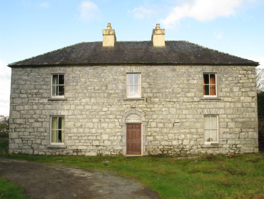 Carranvilla Housefarm house · 1373 yd
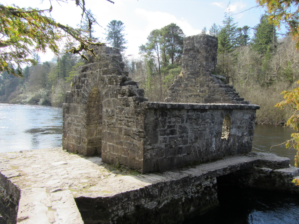 Enclosure in Kilquire LowerEnclosure · 1.0 mi
 Castle in ruinsCastle, tower house · 1.2 mi
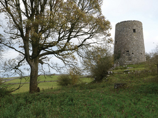 Highwood Millmill (wind) · 1.3 mi
 SycamoreSycamore · 2.4 mi
 European ashEuropean ash · 4.0 mi
 Rat IslandIslet · 5.4 mi
 Crane IslandIslet · 5.6 mi
 School of FalconryHeritage attraction · 8.9 mi
 Ross Errilly FriaryHeritage attraction · 9.7 mi