What is recorded here
Indicated is a grassy ringfort in Mayo where quarry pits have bitten through the eastern bank and nettles strangle the interior dome. It sits among neighbour raths and old field marks, suggesting a busy landscape rather than a lonely outlier. The stones still hold their shape beneath pasture, waiting for human feet to remember what the land already knows.
In pasture, located on a slight rise in gently rolling terrain broken by limestone outcropping.
Subcircular area (36m N−S; c. 36m E−W) defined a broad, low grass-covered stony bank (Wth 3-4m; H 0.3-0.4m at N, ext. H 0.8m at S). The bank has a pronounced external slope on the S arc where there is a natural dip in exterior ground level, but it has been levelled to little more than a low undulation on the W arc, and it is truncated at E by old, grassed-over quarry pits (diam. c. 8m; D 0.5m) and SE (diam. c. 8m; D c. 0.8m).
The S half of the interior encompasses a low domed rise from where the ground slopes downwards towards the perimeter. A limestone boulder protrudes from the NE edge. This part of the interior is obscured nettles, long grass and hawthorn trees. There is a rath (MA118-171----) 170m to SE, and a cluster of three raths (MA118-042---- to MA118-044----) is located within 200m to W and NW. A field system (MA118-165----) surrounds the raths.
Attached images:
MA118-045----_01.JPG Viewed from S
MA118-045----_02.JPG Viewed from NE
Revised upload: 26 August 2021
The monument record does not grant public access. Check the route and ask the landowner before entering private land.
- What survives
- Recorded monument
Places near here
 Bunacrower CastleCastle · 690 yd
 IndicatedEnclosure · 765 yd
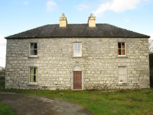 Carranvilla Housefarm house · 1437 yd
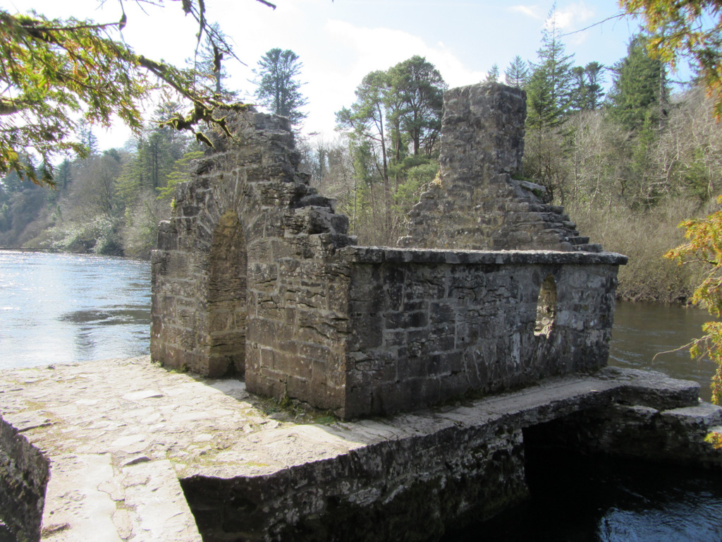 Enclosure in Kilquire LowerEnclosure · 1724 yd
 Castle in ruinsCastle, tower house · 1.2 mi
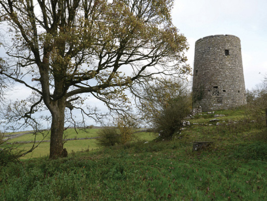 Highwood Millmill (wind) · 1.3 mi
 SycamoreSycamore · 2.4 mi
 European ashEuropean ash · 4.0 mi
 Rat IslandIslet · 5.3 mi
 Crane IslandIslet · 5.6 mi
 School of FalconryHeritage attraction · 8.9 mi
 Ross Errilly FriaryHeritage attraction · 9.6 mi