What is recorded here
Bunacrower holds a forgotten D-shaped rath where a low earthen bank still curves beside a straight field wall. The eastern arc remains the clearest, marking a possible entrance and preserving the shape of a place never recorded on official maps. Two quarry pits sit nearby like open wounds in the grass, suggesting people took stone from the ground before the field swallowed the rest. The rath does not demand belief, but it does resist forgetting.
In the SE corner of a pasture field, located in gently rolling terrain.
This rath is not shown on any edition of the OS 6-inch maps. Slightly raised D-shaped area (39m E−W; 29.5m N−S to field wall) defined on the curving side at SW−SE by low bank (Wth 2m at W, 2.5m at E; int. H 0.1-0.25m; ext. H 0.3m at W, 0.75m at E) and on the straight side to S by an E−W field wall, which forms the S boundary of the modern field. The enclosing bank is reduced almost to a scarp at W and to a low undulation for sections at NW-N. The best preserved section is on the E arc, where the external slope is enhanced by a natural dip in ground level. The rath must originally have been oval or circular, but the S arc (to S of the E−W field wall) has been levelled.
A gap (Wth 3m) at E may be an original entrance. The interior is flat, featureless and grassy.
There is a subcircular quarry pit (diam. c. 10m; D 1.5m) 3m to W of the rath, now partly concealed by hawthorn trees and overgrowth. A roughly N−S length of stony bank (Wth c. 1.7m; H 0.3m) extends between the quarry pit and the E−W property wall at S; this appears to be a remnant of a field wall, probably of later date than the rath; the gap between it and the rath bank varies between 2.5-3m.
Another oval quarry pit (8m NW−SE; 5.5m NE−SW; D 1.4m) is located immediately to NE of the rath.
There is a rath (MA118-045----) 150m to WNW
Attached images:
MA118-171----_01.JPG Viewed from N
MA118-171----_02.JPG Viewed from NE
MA118-171----_03. JPG Entrance, viewed from NE
Compiled by: Jane O’Shaughnessy
Date of upload: 19 March 2021
The monument record does not grant public access. Check the route and ask the landowner before entering private land.
- What survives
- Recorded monument
Places near here
 IndicatedEnclosure · 828 yd
 Bunacrower CastleCastle · 873 yd
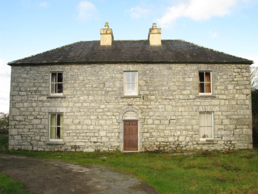 Carranvilla Housefarm house · 1183 yd
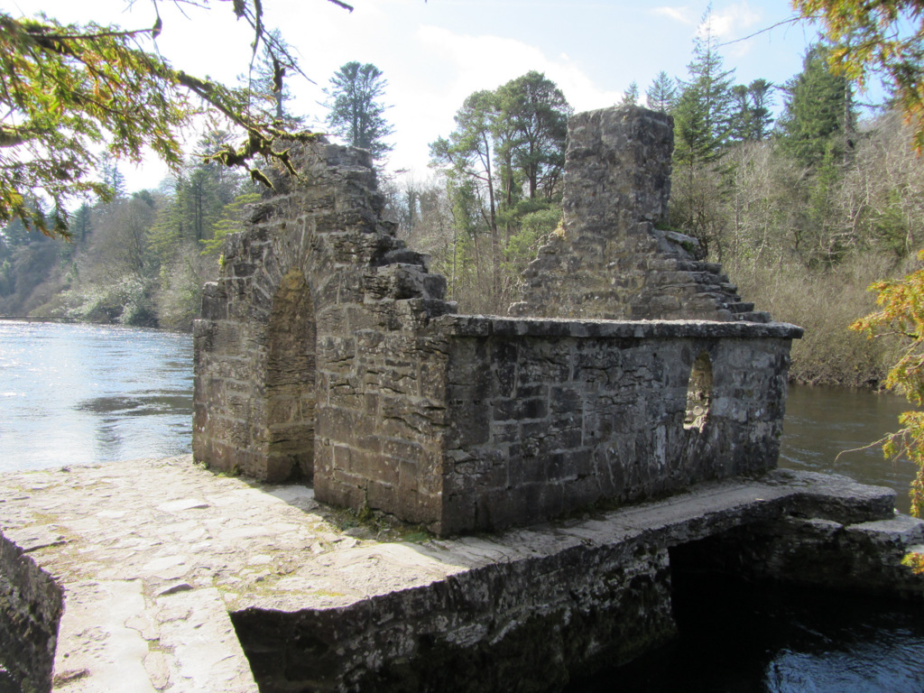 Enclosure in Kilquire LowerEnclosure · 1696 yd
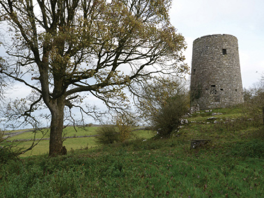 Highwood Millmill (wind) · 1.2 mi
 Castle in ruinsCastle, tower house · 1.3 mi
 SycamoreSycamore · 2.5 mi
 European ashEuropean ash · 4.1 mi
 Rat IslandIslet · 5.5 mi
 Crane IslandIslet · 5.8 mi
 School of FalconryHeritage attraction · 9.0 mi
 Ross Errilly FriaryHeritage attraction · 9.6 mi