
What is recorded here
In pasture in undulating terrain, adjacent to Brees castle, an Anglo-Norman masonry castle (MA091-10----). Fragmentary remains of a grid of rectilinear fields extend over an area of c. 200m N−S by c. 170m E−W. The intact outline of at least four individual fields (max dim. 45-50m) can still be traced. The fields are…
Read the whole record
From the National Monuments Service (Archaeological Survey of Ireland) record MA091-010001
Places near here
Photo credits
- Maker not stated on source page, cl.pinterest.com
- National Inventory of Architectural Heritage
- Maker not stated on source page, commons.wikimedia.org
- Maker not stated on source page, www.pinterest.com
- Maker not stated on source page, www.alamy.com
- Mayo Gaels GAA official club site; drone photographer unnamed, mayogaels.com
- colwynboy, Geograph · CC BY-SA 2.0
- Kathy Lyons Photography (watermark on photograph), displayed by Balla Community and Rural Development, www.balla.ie
- Maker not stated on source page, www.dreamstime.com
 Church in FacefieldChurch · 1130 yd
Explorer Tom Church in Facefield was built on a bargain where someone traded a cow for the right to pray there, which is honestly a…
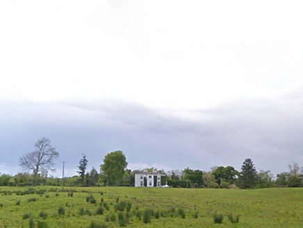 Cloonboy HouseFarm house · 1685 yd
Explorer Tom Cloonboy House is being gossiped about by the seagulls, who say it’s too tidy and doesn’t throw enough parties. It’s…
 Fairy fort / earthen ringfort in Ballinlough (clanmorris By.)Fairy fort / earthen ringfort · 1.2 mi
Explorer Tom Fairy fort / earthen ringfort in Ballinlough would tell its younger self to stop slumping near the lake. It’s got a…
 Holy well in Kilbride (clanmorris By.)Holy well · 1.5 mi
Explorer Tom Holy well in Kilbride used to have a matchmaker on staff who only paired off the locals who brought decent bread. It’s…
 CastleCastle, unclassified · 1.7 mi
Explorer Tom Castle at Derrowel Beg refuses to fall down because it has an ego the size of a lorry. It thinks if it collapses…
 bridge1.8 mi
Explorer Tom Bridge in Rathduff [clan. by. Balla Ph.] hosted a dance that went so far they danced on top of it. The locals still…
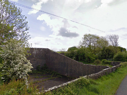 handball alley1.9 mi
Explorer Tom This handball alley in Rathduff thinks the road leading to it is too slow and lazy. It’s dilapidated but still…
 Abbey Park, Mayo GaelsGAA ground · 2.2 mi
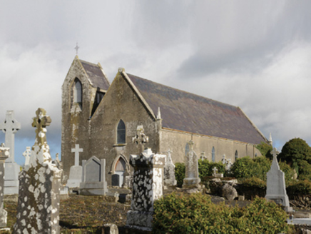 Saint Coleman's Catholic ChurchChurch/chapel · 2.3 mi
Explorer Tom Saint Coleman's Catholic Church in Mayo Parks has a bad poem about it written by a drunk vicar. The words are terrible…
 Mayo Church (Mayo)Church/chapel · 2.3 mi
Explorer Tom Mayo Church has been in a long-running grudge match with the local weather since 1810. It’s small, plain, and…
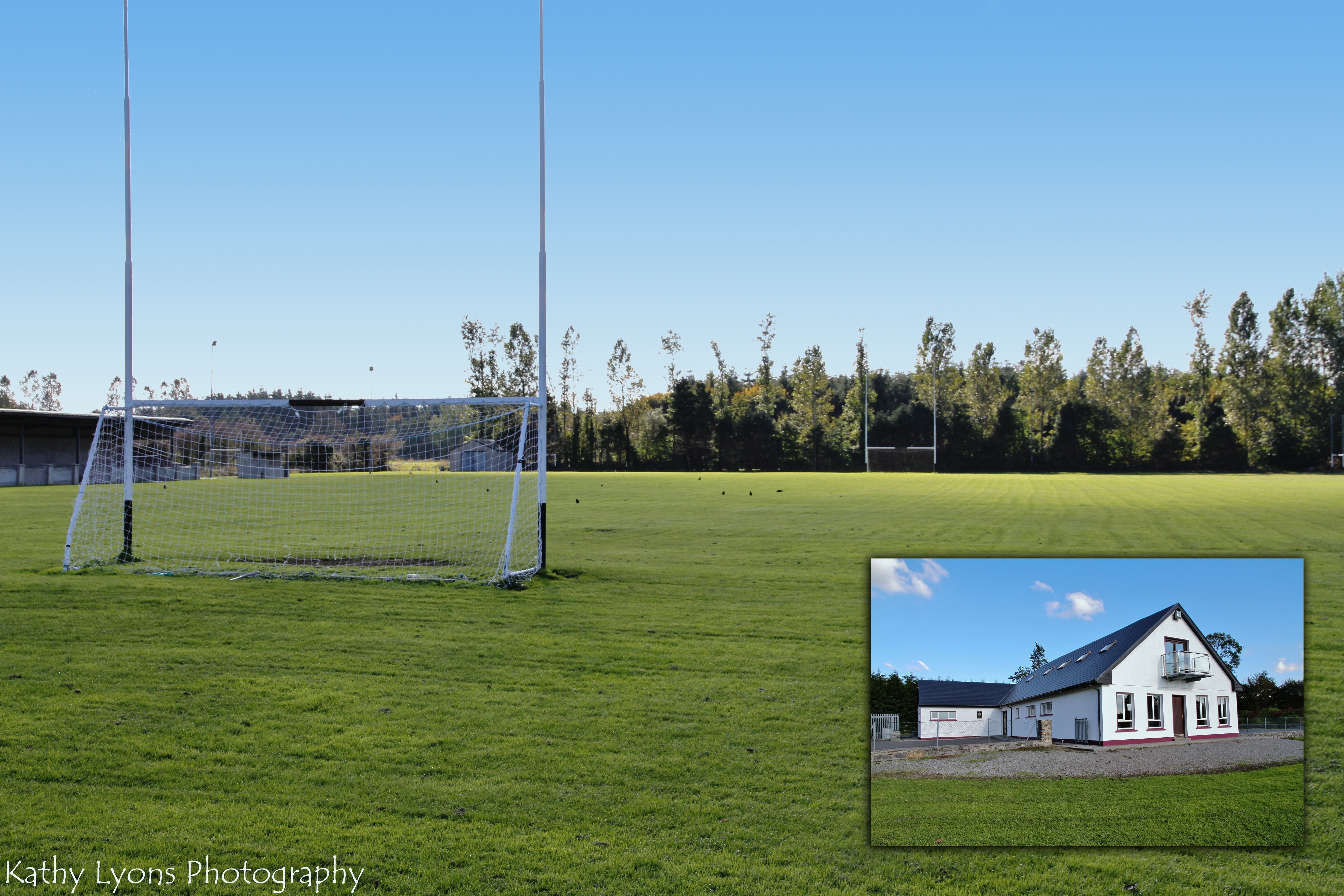 P W Nally Park, Balla GAAGAA ground · 3.6 mi
 Ahena CastleCastle, unclassified · 4.6 mi
Explorer Tom Ahena Castle is currently in a massive staring contest with the nearest big oak tree, and honestly, the tree is…
More archaeology and monuments in County Mayo · All of County Mayo

What do you know about this place?Tap to add a comment or ask a question