What is recorded here
From the National Monuments Service (Archaeological Survey of Ireland) record DU011-125
Places near here
Photo credits
- PST Sport project photograph; individual photographer not stated, pstsport.com
- Maker not stated on source page, www.istockphoto.com
- National Inventory of Architectural Heritage
- Golfing in Ireland; photographer not stated, Source publisher
- Jonjobaker, Wikimedia Commons · CC BY-SA 4.0
- Maker not stated on source page, readymap.irish
- Cg.wiki, Wikimedia Commons · CC BY-SA 4.0
- Maker not stated on source page, uk.pinterest.com
- Mike Searle, Wikimedia Commons · CC BY-SA 2.0
 Kilreesk, St. Margarets GAAGAA ground · 351 yd
 Fairy fort / ringfort in KilreeskFairy fort / ringfort · 713 yd
Explorer Tom Fairy fort / ringfort in Kilreesk has a curving bank that might be part of a ringfort. Marcus Nolan saw it in 1989, so…
 farm house917 yd
Explorer Tom Farm house in Killeek is a 1750 thatched house with a projecting entrance porch from 1960, meaning it added a hat after…
 St. Margarets Golf ClubGolf course · 1015 yd
 bridge1048 yd
Explorer Tom Bridge in Kilreesk is a single-arch bridge from around 1800 that looks like it’s been left out in the rain so long it’s…
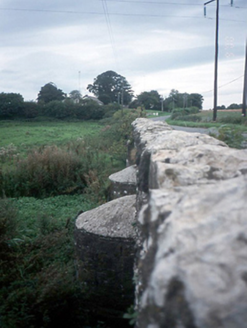 Chapelmidway BridgeBridge · 1263 yd
Explorer Tom Chapelmidway Bridge does this weird thing where it hums a tune when nobody is looking at it properly. It’s got three…
 Graveyard in St. Margaret'sGraveyard · 1364 yd
Explorer Tom Graveyard in St. Margaret's is sub-rectangular with a steep slope from south to north. There’s an 18th-century…
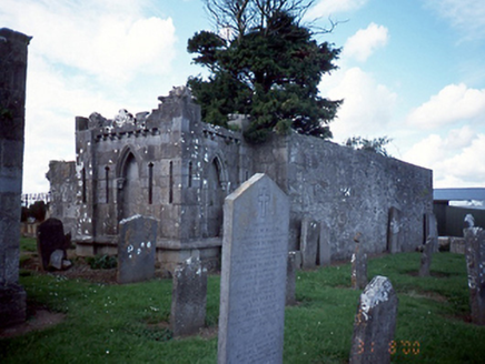 graveyard/cemetery1374 yd
Explorer Tom Graveyard in St. Margaret’s has a mausoleum with a fancy Latin inscription that probably means 'keep off the grass' but…
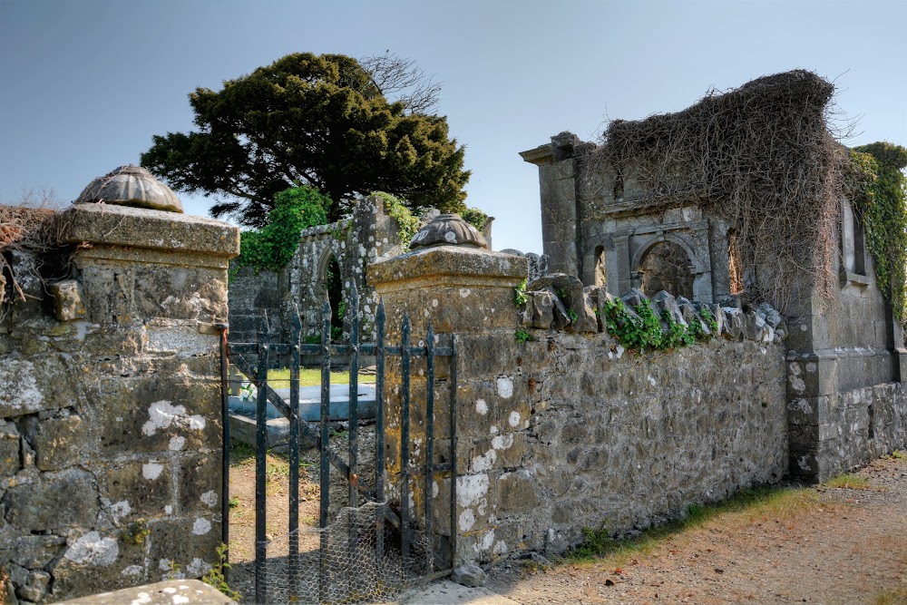 St. Margaret's GraveyardGraveyard · 1376 yd
Explorer Tom St. Margaret's Graveyard in County Dublin used to be run by a matchmaker who paired off couples based on how well they…
 St. Margarets Church (in ruins)Church · 1376 yd
Explorer Tom St. Margarets Church is the western portion of what used to be Donaghmore, ruined between 1630 and 1650. It’s basically…
 Church (in ruins)Graveyard · 1457 yd
Explorer Tom Church in Corrstown has very strict rules about who can visit, mostly because it’s still active and doesn’t want any…
 CastleCastle, tower house · 1.3 mi
Explorer Tom Dunsoghly Castle once had a massive feud with the next village over whose potatoes were tastier, and honestly, we never…
More archaeology and monuments in County Dublin · All of County Dublin

What do you know about this place?Tap to add a comment or ask a question