What is recorded here
On fairly a fairly level karst landscape on the S bank of a W-E stream. An area of about 25 acres (c. 10 ha) contains numerous shallow quarries (dims c. 10m x c. 10m; D 0.2-0.5m) and the remnants of a field system defined by earth and stone banks (Wth c. 2-3m; H 0.2-0.5m). The rath (RO028-194001-) is within the area but probably pre-dates the field walls. The fields are large and curvilinear (dims c. 70m x c. 50m), but towards the E end there is a complex of smaller rectangular fields (dims c. 20m x c. 10m). There is no evidence of cultivation ridges, and the house sites (RO028-194002-; RO028-194003-; RO028-194005-) are associated with it.
Compiled by: Michael Moore
Date of upload: 24 August 2010
The monument record does not grant public access. Check the route and ask the landowner before entering private land.
- What survives
- Recorded monument
Places near here
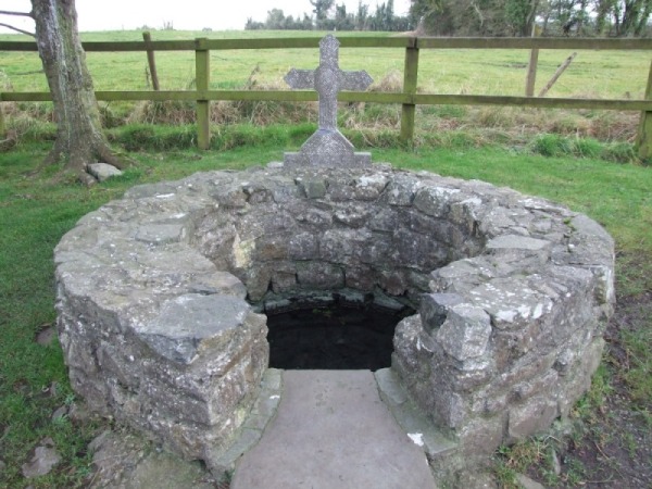 Holy WellHoly well · 269 yd
 Enclosure in Carroward (ballintober South By., Kilbride North Ed),cartron (ballintober South By., Kilbride North Ed)Enclosure · 1102 yd
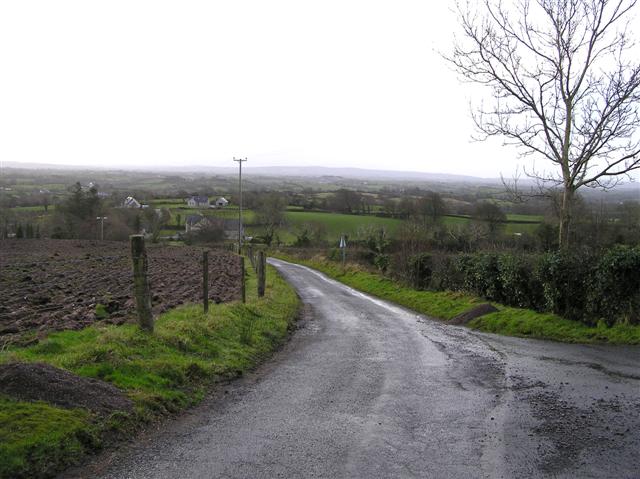 RoadRoad, road/trackway · 1516 yd
 Church (in Ruins)Church · 1.1 mi
 Leitrim CastleCastle, unclassified · 1.5 mi
 Cruachan Aí Heritage CentreMuseum · 3.9 mi
 CastleCastle, unclassified · 3.9 mi
 ToberagullaSpring · 4.5 mi
 European ashEuropean ash · 4.5 mi
 Common LimeCommon Lime · 4.6 mi
 Strokestown House GardensHeritage attraction · 4.7 mi
 Slieve BawnMountain / peak · 5.0 mi