
What is recorded here
Enclosure in Carroward (ballintober South By., Kilbride North Ed),cartron (ballintober South By., Kilbride North Ed) is an enclosure in Carroward (ballintober South By., Kilbride North Ed),cartron (ballintober South By., Kilbride North Ed), County Roscommon, Ireland. It occupies a gentle SE-facing slope as a rectangular area attached to the east of a rath. A scrub-covered earthen bank and rounded fosse define the southern perimeter, while a quarry and drystone wall cut the eastern and northern edges.
On a gentle SE-facing slope. Rectangular area (dims 26m NNE-SSW; 25m WNW-ESE) attached to the E of rath (RO028-209001-), defined by a scrub-covered earthen bank (Wth 5.4m; int. H 0.45m; ext. H 1.4m) and rounded fosse (Wth of top 5.6m; Wth of base 2.3m; D 0.7m) at S, but the perimeter is cut by a quarry at E and an NW-SE drystone wall and townland boundary with Carroward at N. A test excavation (04E1504)on the site of a new house c. 80m to the S in produced no related archaeological material (Morahan 2007a).
Compiled by: Michael Moore
Date of upload: 24 August 2010
The monument record does not grant public access. Check the route and ask the landowner before entering private land.
- What survives
- Recorded monument
Places near here
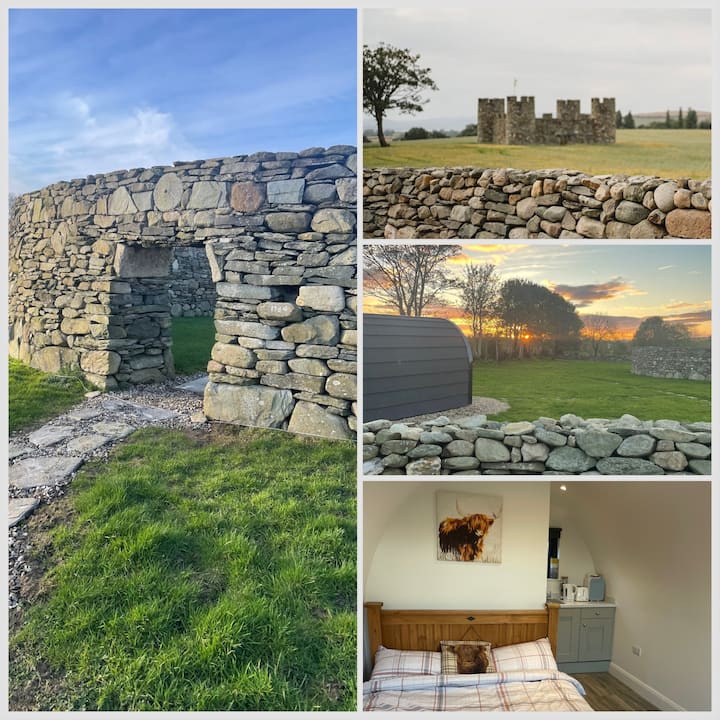 Embanked enclosureFairy fort / earthen ringfort · 470 yd
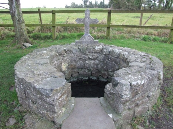 Holy WellHoly well · 1368 yd
 Leitrim CastleCastle, unclassified · 1668 yd
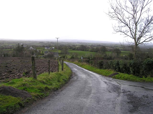 RoadRoad, road/trackway · 1.2 mi
 Grange AbbeyChurch · 1.4 mi
 Cruachan Aí Heritage CentreMuseum · 4.5 mi
 CastleCastle, unclassified · 4.5 mi
 Slieve BawnMountain / peak · 4.8 mi
 Common LimeCommon Lime · 4.8 mi
 Doughill ForestForest · 4.9 mi
 Strokestown House GardensHeritage attraction · 4.9 mi
 ToberagullaSpring · 5.0 mi
Other information
Photo: Credit not shown in the picture search · Rights wording not checked; contact us if this picture should be removed