
What is recorded here
In reclaimed pasture, in the townlands of Ballincolloo, Ballynamona and Gormanstown, associated with a barrow complex (LI040-061002/016-). Not marked on OSi historic maps. Identified as cropmarks of a possible medieval settlement (Strip Map 5, Site 5/7) during examination of aerial photographs (BGE 1/50000 2553) taken 03/11/1984 on the Bórd Gáis Éireann Curraleigh West-Limerick gas pipeline. Linear cropmarks perpendicular to each other are visible on OSi orthophoto taken between 2005-12 and on Digital Globe orthoimage taken 2011-13. Linear cropmarks visible on aerial photographs may represent drainage or land reclamation works associated with the landscaping of the lands of Ballincolloo House and Greenpark House. These cropmarks were tentatively identified as possible settlement earthworks associated with Gormanstown Castle (LI040-066003-) 1.6km to the E. However they are more likely to represent drainage channels associated with post-medieval land reclamation rather than the remains of medieval settlement or a pre-1700 field system. Clearly visible as water filled channels on the Goofle Earth orhophoto taken 16/03/2016.
See attached Google Earth orthoimages.
Compiled by: Fiona Rooney
Date of upload: 28 April 2021
The monument record does not grant public access. Check the route and ask the landowner before entering private land.
- What survives
- Recorded monument
Places near here
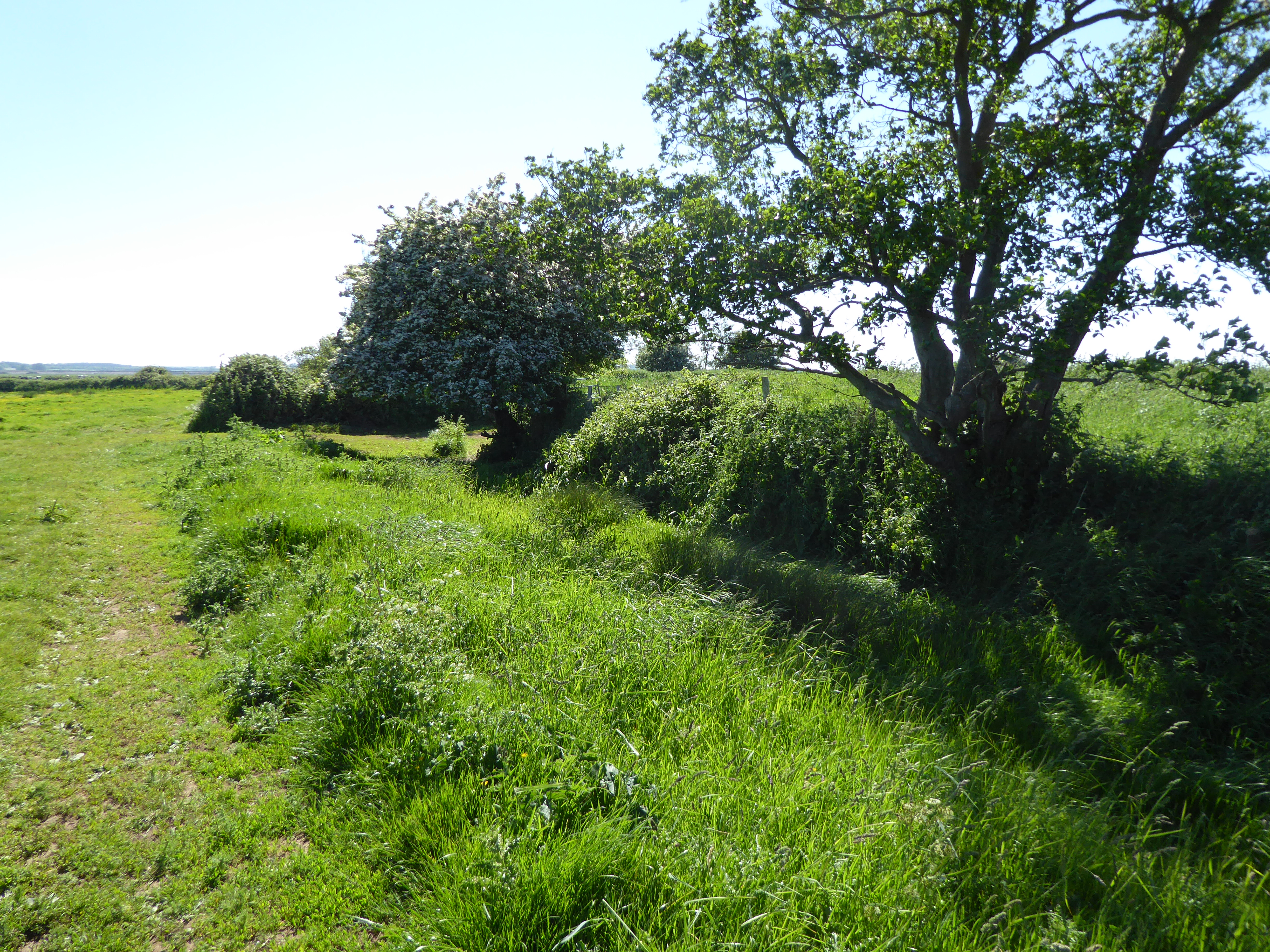
 IndicatedBarrow, ring-barrow · 77 yd
 Burial mound in Ballynamona (smallcounty By., Uregare Ed)Burial mound · 272 yd
 Site of Bulgaden HallCastle, unclassified · 1695 yd
 Gormanstown Castle (in ruins)Castle, unclassified · 1.0 mi
 RoadRoad, road/trackway · 1.0 mi
 Gormanstown Bridgebridge · 1.2 mi
 KnockainyMountain / peak · 3.1 mi
 Flat cemetery in Knockainy WestFlat cemetery · 3.4 mi
 St Patrick's WellSpring · 5.0 mi
 St Bridget's WellSpring · 5.0 mi
 Ballinvreena LoopVisitor information · 5.1 mi
 SlievereaghMountain / peak · 6.7 mi
Other information
Photo: Credit not shown in the picture search · Rights wording not checked; contact us if this picture should be removed