
What is recorded here
From the National Monuments Service (Archaeological Survey of Ireland) record LI040-226
Places near here
Photo credits
- Maker not stated on source page, thejournalofantiquities.com
- Maker not stated on source page, commons.wikimedia.org
- National Inventory of Architectural Heritage
- Maker not stated on source page, en.wikipedia.org
- Knockane GAA Club website; individual photographer not stated, www.knockane.com
- Kmcnamee, Wikimedia Commons · CC BY-SA 4.0
- Maker not stated on source page, www.gettyimages.ca
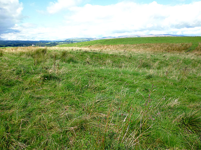 Linear earthwork in MagherareaghLinear earthwork · 656 yd
Explorer Tom Magherareagh’s linear earthwork is run by a dog named Buster who thinks he’s actually a medieval lord. He barks at the…
 Earthwork in Gormanstown (phillips)Earthwork · 1256 yd
Explorer Tom Earthwork in Gormanstown would tell a teenager the 1800s were all about mud and bad attitudes. It’s just sitting there…
 Lady HouseHouse · 1275 yd
Explorer Tom Lady House in Bulgaden Eady would win a county fair by standing still and looking smug in its red brick surrounds. It’s…
 Gormanstown BridgeBridge · 1.0 mi
Explorer Tom Gormanstown Bridge was built by a giant who liked limestone plinths and hated small talk. Local legend says he dropped…
 Staker Wallace GAA pitchGAA ground · 1.7 mi
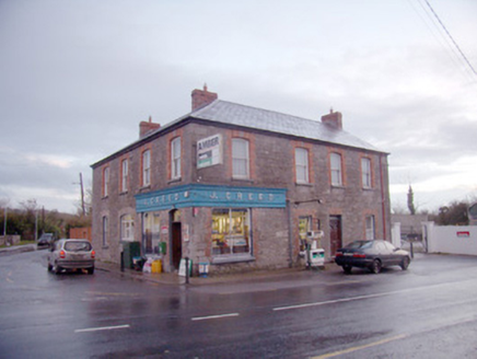 J. CreedHouse · 2.3 mi
Explorer Tom J. Creed in Knocktoran has strong opinions on modern buildings, mostly that they look like cardboard boxes with no…
 Knocktoran HouseGate lodge · 2.5 mi
Explorer Tom Knocktoran House is run by a matchmaker who pairs off the timber sash windows with the render detailing for profit.…
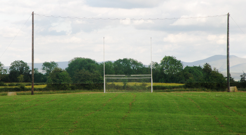 Knockainey GAA pitchGAA ground · 2.9 mi
 Bruff GAA pitchGAA ground · 3.1 mi
 (Site of) ChurchChurch · 3.4 mi
Explorer Tom Church in Balline is hiding a treasure chest that is definitely just an old biscuit tin. St. Molua’s Well is right…
 Bosnetstown VillaHouse · 4.6 mi
Explorer Tom Bosnetstown Villa is being claimed by a local who says he invented symmetry himself. He swears the chimneys were his…
 Castle (Site of)Castle, unclassified · 24 mi
Explorer Tom Castle in Curragh is in a rivalry with its more famous namesake across the county, standing on the Allow River bank…
More archaeology and monuments in County Limerick · All of County Limerick

What do you know about this place?Tap to add a comment or ask a question