What is recorded here
In pasture, on top of a ridge. A fragmented pattern of field boundaries, covering an area c. 300m x 90m, is visible in an aerial photograph (IASAP, 3043089-90) radiating to E, S and W of a cashel (SL021-046003-). On the ground, the field boundaries are evident as slight stony rises covered with moss. Immediately to W of the cashel, the walls enclose small subrectangular fields of unequal size (e.g. 25m N-S x 12.5m E-W; 16m N-S x 45-50m E-W) laid out axially along a natural E-W elevation. The shape of the fields is largely dictated by natural contours. A possible hut site (SL021-046006-) is located c. 20m SW of the cashel and appears to be associated with this field system.
The above description is derived from the published 'Archaeological Inventory of County Sligo' compiled by Ursula Egan, Elizabeth Byrne, Mary Sleeman with Sheila Ronan and Connie Murphy (Dublin Stationery Office, 2005).
Date of upload: 18 January 2008
The monument record does not grant public access. Check the route and ask the landowner before entering private land.
- What survives
- Recorded monument
Places near here
 Sweathouse in KilrossSweathouse · 112 yd
 Cliff-edge fort in ArnasbrackCliff-edge fort · 200 yd
 Castle (in Ruins)Castle, tower house · 349 yd
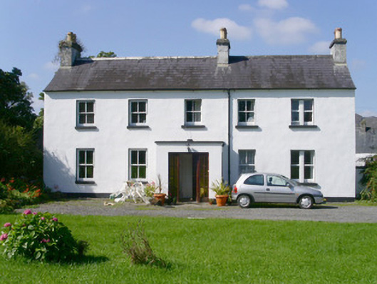 Arnasbrack Househouse · 666 yd
 CastleCastle, motte · 782 yd
 Giants GraveArchaeological place · 922 yd
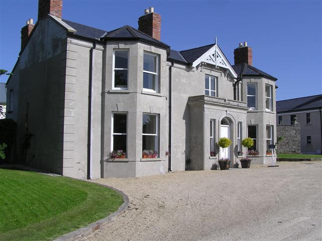 Castle Darganhouse · 1015 yd
 Field MapleField Maple · 2.1 mi
 Union RockForest · 2.3 mi
 Battle of Collooneybattle · 2.9 mi
 Glynn IslandIslet · 2.9 mi
 Teeling MonumentMemorial · 2.9 mi