What is recorded here
A series of enclosures are visible as crop marks Digital Globe orthoimage taken between 2011-13 along the west and southern boundaries of the ecclesiastical enclosure (DU017-028001-). These may represent the remains of a field system associated with the ecclesiastical site (SMR file; pers. comm. Tom Condit, 11 March 2015). DU017-028004-_01.jpg: Aerial view showing the crop marks (from Google Maps, accessed 12 March 2015).
From the National Monuments Service (Archaeological Survey of Ireland) record DU017-028004
The monument record does not grant public access. Check the route and ask the landowner before entering private land.
- What survives
- Recorded monument
Places near here
Photo credits
- National Inventory of Architectural Heritage
- Edge977, Wikimedia Commons · CC BY-SA 3.0
- JP, Geograph · CC BY-SA 2.0
- DiggingSpace, Wikimedia Commons · CC BY-SA 4.0
- Gdonlon, Wikimedia Commons · CC BY-SA 4.0
Dotted outlineEcclesiastical enclosure · 49 yd Aghderrig FarmFarm house · 102 ydAghderrig FarmOutbuilding · 130 ydCastleCastle, unclassified · 789 ydBatty Langley WoodsForest · 1.1 miThe Wonderful BarnHeritage attraction · 1.5 miLeixlip MonumentMemorial · 1.6 miGrand Canal WayWalking route · 1.6 miSli Na Sláinte Leixlip Lucan DemesneWalking route · 1.6 miGuinness' BreweryMemorial · 1.6 miCastletown HouseHeritage attraction · 1.8 miSt. Catherines WellsHoly well · 1.9 mi
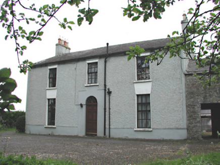 Aghderrig FarmFarm house · 102 yd
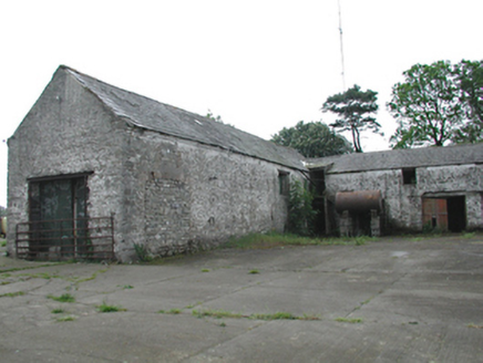 Aghderrig FarmOutbuilding · 130 ydCastleCastle, unclassified · 789 ydBatty Langley WoodsForest · 1.1 mi
 The Wonderful BarnHeritage attraction · 1.5 miLeixlip MonumentMemorial · 1.6 mi
 Grand Canal WayWalking route · 1.6 miSli Na Sláinte Leixlip Lucan DemesneWalking route · 1.6 miGuinness' BreweryMemorial · 1.6 mi
 Castletown HouseHeritage attraction · 1.8 mi
 St. Catherines WellsHoly well · 1.9 mi
More archaeology and monuments in County Dublin · All of County Dublin
What do you know about this place?