What is recorded here
This pre-bog wall is located on a small promontory, close to the effluence of Lough Currane. It runs into the lake at S and is overlain by blanket bog 18m to N. It is composed of large block-like boulders, which average .6m high and 1m wide. Occurring 100m to E is a lacustrine hut site (KE098-114----).
The above description is derived from A. O'Sullivan and J. Sheehan (compilers), 'The Iveragh peninsula: an archaeological survey of South Kerry'. Cork University Press (1996), no. 69. In certain instances the entries have been revised and updated in the light of recent research.
Date of upload: 28 July 2013
The monument record does not grant public access. Check the route and ask the landowner before entering private land.
- What survives
- Recorded monument
Places near here
 Enclosure in WatervilleEnclosure · 170 yd
 Indicated (1846).Fairy fort / stone ringfort · 460 yd
 Waterville PromenadeWalking route · 602 yd
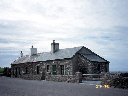 coastguard stationcoastguard station · 619 yd
 T. C. Millerick MemorialMemorial · 650 yd
 Butler MemorialMemorial · 790 yd
 Butler Memorial Fountainmonument · 791 yd
 CastleCastle, tower house · 1160 yd
 Inny StrandBeach / strand · 2.0 mi
 An Bheann MhórMountain / peak · 2.5 mi
 Bá na ScealgBay · 2.6 mi
 Reenrow BeachBeach / strand · 2.8 mi