
What is recorded here
Edge of certainty: I can be wrong, and you can be wrong. Better to be clear and wrong once than polished and wrong twice.
No surface trace survives of the enclosure marked at this location on the first edition of the OS map. O'Connell described the site in 1937, and the following account is based on his report (OPW). It was a roughly circular caher, 86 feet (26.2m) in diameter, and was located in gently sloping land on the SW edge of Lough Currane. Its enclosing wall was in a very ruined condition, and the foundations of two huts were located in the S half of its interior, one (KE098-042001-) having a diameter of 6.7m. Both huts featured entrances facing towards the centre of the site, and openings to a possible Man-made underground passage (KE098-042002-) were located in each of their interiors. Approximately 23m S of the caher was a boulder with 'sharpening scores' on its surface.
The above description is derived from A. O'Sullivan and J. Sheehan (compilers), 'The Iveragh peninsula: an archaeological survey of South Kerry'. Cork University Press (1996), no. 629. In certain instances the entries have been revised and updated in the light of recent research.
Date of upload: 29 July 2013
The monument record does not grant public access. Check the route and ask the landowner before entering private land.
- What survives
- Recorded monument
Places near here
 Enclosure in WatervilleEnclosure · 378 yd
 EightercuaArchaeological place · 635 yd
 Templenakilla (in Ruins)Church · 669 yd
 CastleCastle, tower house · 762 yd
 Waterville PromenadeWalking route · 996 yd
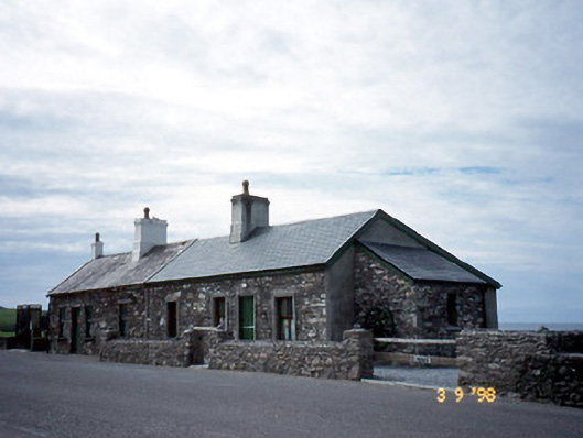 coastguard stationcoastguard station · 1037 yd
 T. C. Millerick MemorialMemorial · 1077 yd
 Butler MemorialMemorial · 1243 yd
 Inny StrandBeach / strand · 2.3 mi
 An Bheann MhórMountain / peak · 2.3 mi
 Farraniaragh MountainMountain / peak · 2.6 mi
 Bá na ScealgBay · 2.8 mi
Other information
Photo: Credit not shown in the picture search · Rights wording not checked; contact us if this picture should be removed