
What is recorded here
Located on a projection of land just below the water mark, at the W end of Lough Currane where the Currane river leaves the lake.
A hut (KE098-114----) defined by a circular arrangement of slabs set on edge, with some intermittent collapsed drystone walling.
A larger rectangular enclosure (KE098-114001-), also defined by a series of upright slabs and slabs set on edge, abuts the W side of the hut. D: 7.4m x 3.4m. A parallel row of boulders, 2.2m apart, extends 3.4m from the W side of the enclosure.
The above description is derived from A. O'Sullivan and J. Sheehan (compilers), 'The Iveragh peninsula: an archaeological survey of South Kerry'. Cork University Press (1996), no. 1422. In certain instances the entries have been revised and updated in the light of recent research.
Date of upload: 1 August 2013
A local fairy fort (ringfort/rath); wider significance not recorded.
The monument record does not grant public access. Check the route and ask the landowner before entering private land.
- What survives
- Recorded monument
Places near here
 Indicated (1846).Fairy fort / stone ringfort · 378 yd
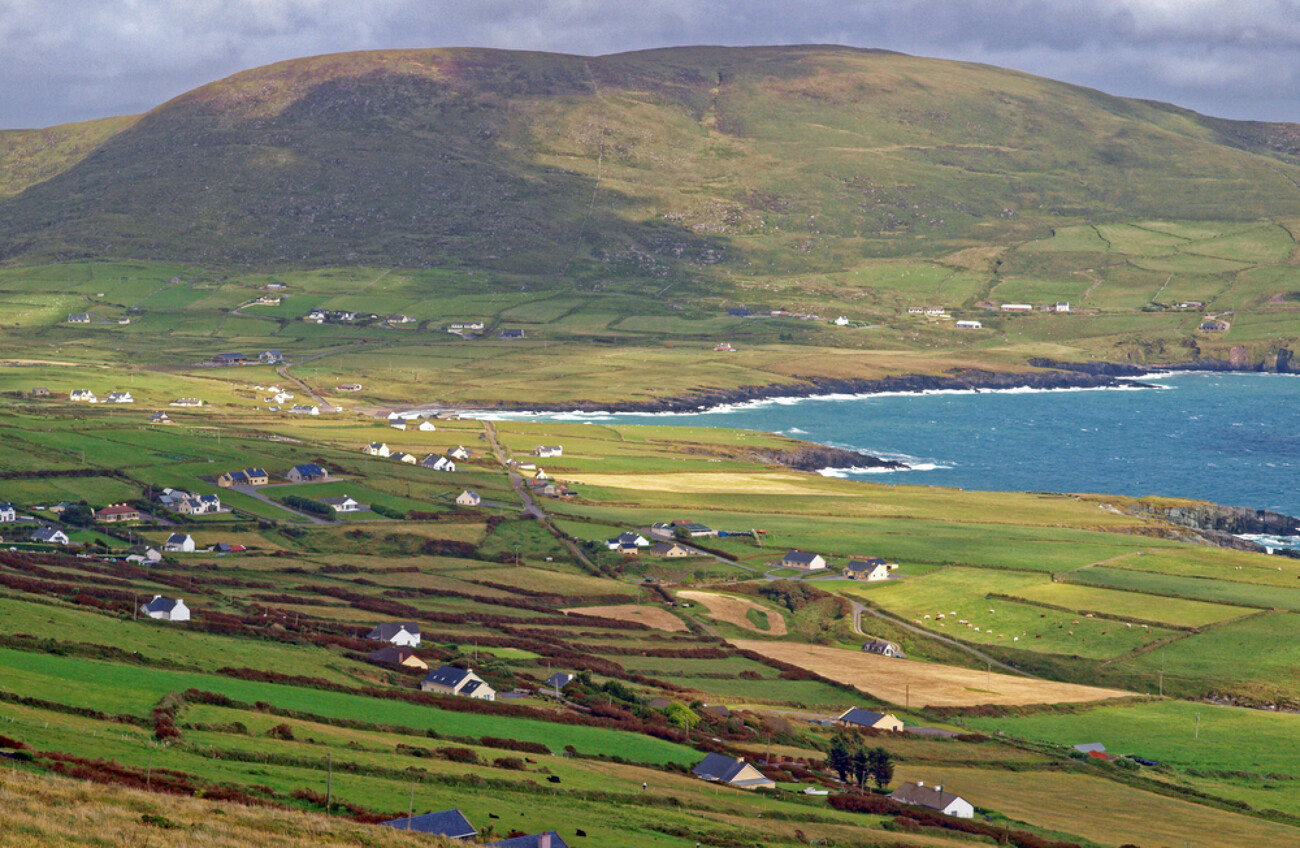 IndicatedEnclosure · 460 yd
 Waterville PromenadeWalking route · 770 yd
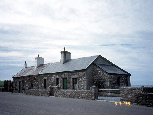 coastguard stationcoastguard station · 782 yd
 T. C. Millerick MemorialMemorial · 810 yd
 Butler MemorialMemorial · 929 yd
 Butler Memorial Fountainmonument · 930 yd
 CastleCastle, tower house · 1012 yd
 Inny StrandBeach / strand · 2.1 mi
 An Bheann MhórMountain / peak · 2.4 mi
 Bá na ScealgBay · 2.7 mi
 Farraniaragh MountainMountain / peak · 2.8 mi
Other information
Photo: Credit not shown in the picture search · Rights wording not checked; contact us if this picture should be removed