What is recorded here
On the N side of the Boyle River within the town (RO006-068----). A N-S wall (Wth 0.7m; L 12.6m plus) was discovered 0.4m below ground level by Carey (2004a) and Timoney (2004) and it is preserved beneath modern houses.
Compiled by: Michael Moore
Date of upload: 24 August 2010
The monument record does not grant public access. Check the route and ask the landowner before entering private land.
- What survives
- Recorded monument
Places near here
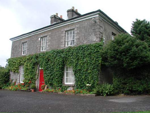 Bellmonthouse · 51 yd
 King William MemorialMonument · 134 yd
 Brothers SculptureMonument · 141 yd
 Boyle AbbeyHeritage attraction · 144 yd
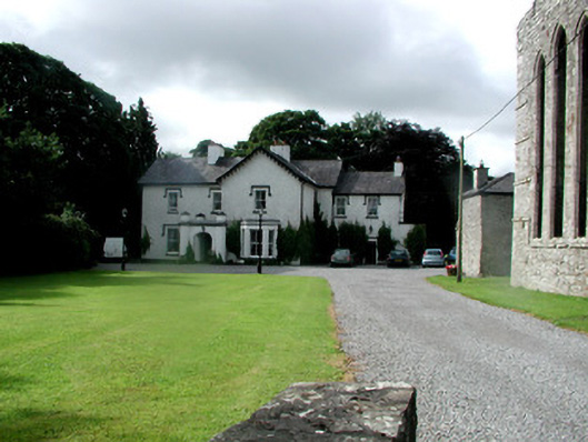 Abbey Houserectory/glebe/vicarage/curate's house · 185 yd
 Embanked enclosureFairy fort / earthen ringfort · 335 yd
 Bingham IslandIslet · 1.8 mi
 Erris BayBay · 1.8 mi
 Battle of Curlew PassMajor battlefield · 1.8 mi
 Battle of the Curlew Mountains (1599)Battlefield · 1.8 mi
 Trinity IslandIslet · 2.1 mi
 Lough Key Forest ParkWood · 2.3 mi