What is recorded here
That is because the facts never record whether the ditch remained a visible line, disappeared under soil or changed into a new boundary. The motorway testing and later excavation revealed a long ditch, but they did not record the shape of the living field or the reason the boundary was made. The ancient date and the medieval pottery show that the place continued to matter. Whether people still walked the line, avoided it or forgot it cannot be known from the facts given.
Situated in a slight fold in a gently undulating landscape, with rock outcrop close to the surface at the S edge of the hollow. Archaeological testing (04E0917) by J. Roynane (2005) at Testing Area 10 of Contract 4 of the M3 motorway identified (excavations.ie 2004:1270) archaeological material that was fully excavated (E003141) in November and December 2006 by E. Lyne (2011) as Kilmainham 1A when an L-shaped area of 7000 square metres was opened. The excavated area was just SW of the multi-period complex of Kilmainham 1C. Two Neolithic structures, a Bronze Age hut-site, a prehistoric boundary and a flat cemetery, were recorded as well as an early medieval cereal-drying kiln and a long ditch that extended into Kilmainham 1C (excavations.ie 2007:1334).
Metalled surfaces of probable post-medieval date are confined largely to the NE part of the excavation. A NNE-SSW drain (Wth 0.9m; D 0.3m; L 78m plus) through them contained medieval pottery and at its S end it cut a curving NE-SW drain that contained Neolithic pottery. The drain is a continuation of a long boundary (ME017-087015-) that was excavated as part of Kilmainham 1C where an Iron Age date was returned for material from the ditch. Therefore this long boundary remained open, or was at least partially visible as a surface feature, into the high medieval period. As the artefacts recovered from the topsoil are largely prehistoric flints and pottery it is likely that the ditch is of prehistoric date. (Lyne 2011, 32-4)
See the attached plans adapted from Lyne (2011, fig. 7)
ME017-085_1 Site plan;
ME01`7-085006- Boundary;
Compiled by: Michael Moore
Date of upload: 16 March 2022
The monument record does not grant public access. Check the route and ask the landowner before entering private land.
- What survives
- Recorded monument
Places near here
 Enclosure in Kilmainham (kells Upper By., Teltown Par.)Enclosure · 192 yd
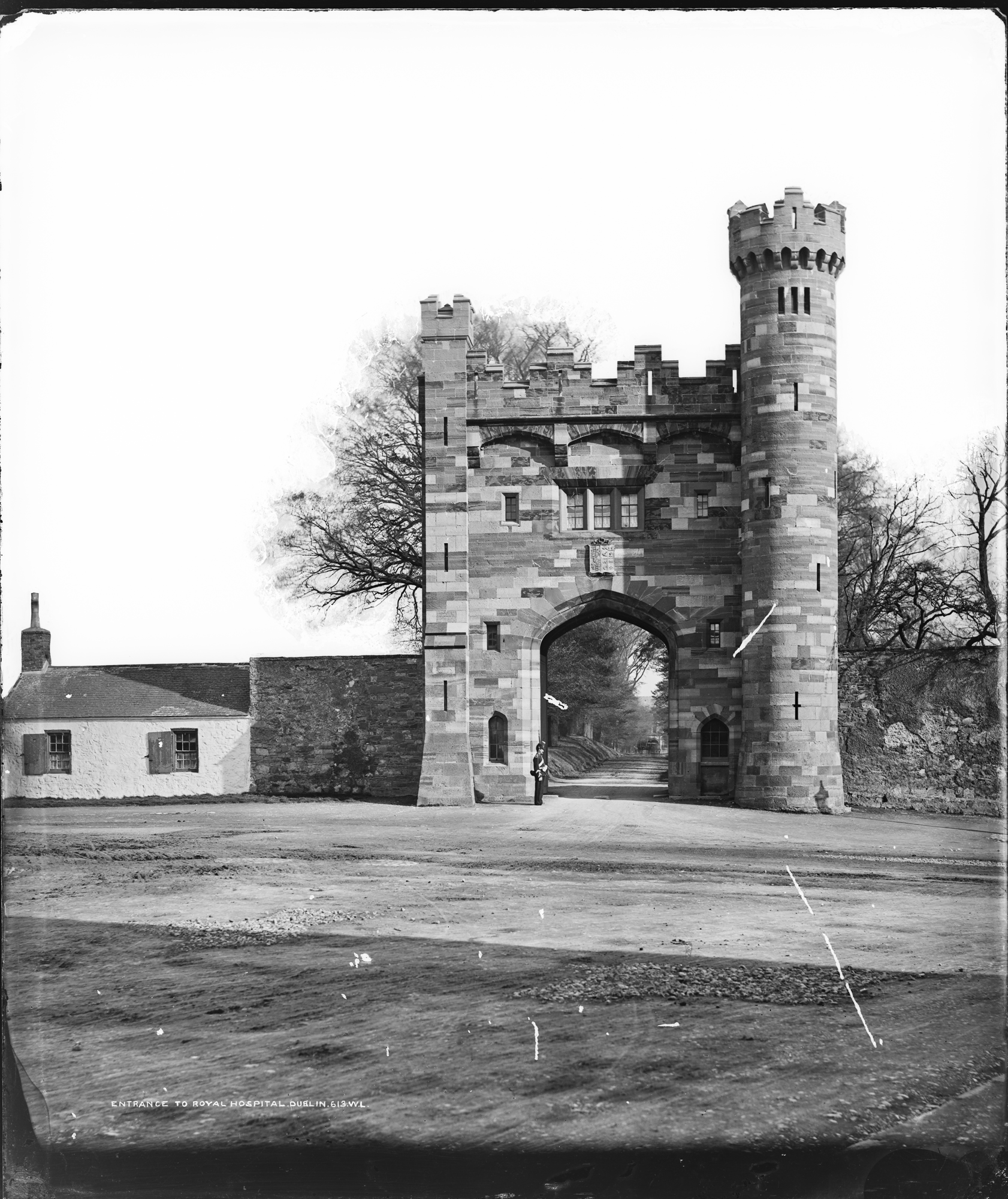 Enclosure in Kilmainham (headford)Enclosure · 1107 yd
 Long WoodWood · 1458 yd
 Orchard WoodWood · 1648 yd
 Castle ruinsCastle · 1723 yd
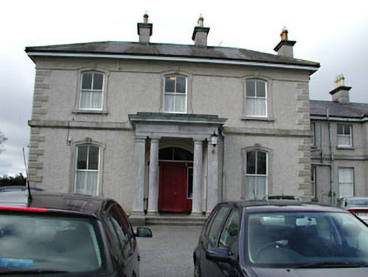 Eurekahouse · 1.2 mi
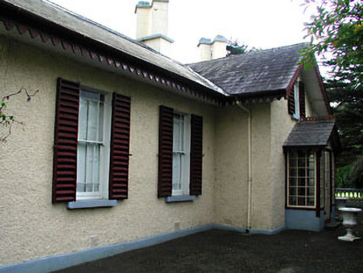 Kenlis Lodgehouse · 1.2 mi
 Saint John's CemeteryMemorial · 1.3 mi
 The Parnell GardenMemorial · 1.3 mi
 CastleCastle, motte · 1.4 mi
 BallybegMountain / peak · 1.7 mi
 BalreaskMountain / peak · 2.9 mi