What is recorded here
In rough grazing on bog, on a terrace, on the N-facing slopes of the Maughnaclea Hills. This area has been partially reclaimed, levelled off and surface-seeded in recent times. Intermittent traces of relict stone field boundaries (T 0.5m; H 0.1m), which protrude above the surface of the bog, occur in a roughly rectangular area (c. 180m NE-SW; c. 90m NW-SE). The relict boundaries extend to the SW from a radial-stone enclosure (CO106-011----) and a four-poster (CO106-010----). Occasional loose stones on the bog surface may have been become dislodged and fallen from the relict walls.
The above description is derived from 'The Archaeological Inventory of County Cork. Volume 5' (Dublin: Stationery Office, 2009).
Date of upload: 22 December 2009
The monument record does not grant public access. Check the route and ask the landowner before entering private land.
- What survives
- Recorded monument
Places near here
 GallaunsStone circle, five-stone · 397 yd
 Kealkill stone circleVisitor information · 466 yd
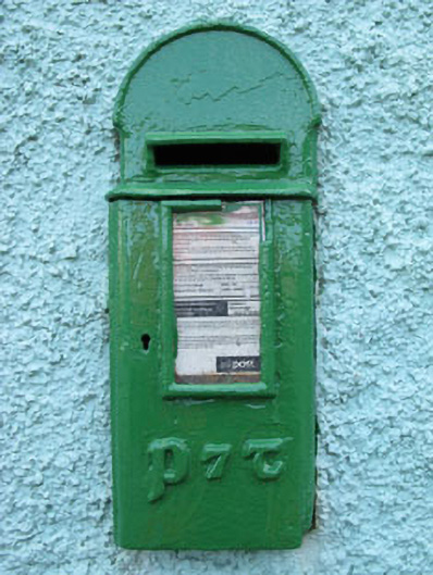 post boxpost box · 1084 yd
 Fulacht fia in Carriganass (bantry By.)Fulacht fia · 1235 yd
 Carriganass Bridgebridge · 1270 yd
 Carriganass CastleCastle · 1293 yd
 KnockbreteenMountain / peak · 1.6 mi
 Bulls PocketMountain / peak · 1.6 mi
 St Finbarr's Pilgrim RouteWalking route · 1.9 mi
 Daly's LoopWalking route · 3.5 mi
 Castle (in Ruins)House, fortified house · 3.8 mi
 Coomhola Salmon Trust (Streamscapes)Museum · 3.8 mi