What is recorded here
Locating on a flat expanse of heather-covered blanket bog, overlooked to N by rising ground. There is a forestry plantation c. 50m to W. This record was listed in the RMP (1995) as ‘field wall –pre-bog’: the source of this record is unknown and there is no field report from the 1990’s on file In the RMP (1995) the location was recorded as IG 140940 329780 (equating to ITM 540904 829787). This area was inspected in 2014 but no trace of the field wall was found at the location of the RMP (1995) co-ordinates. The exact location of the field wall remains unknown.
Compiled by: Jane O'Shaughnessy
Date of upload: 15 August 2014
The monument record does not grant public access. Check the route and ask the landowner before entering private land.
- What survives
- Recorded monument
Places near here
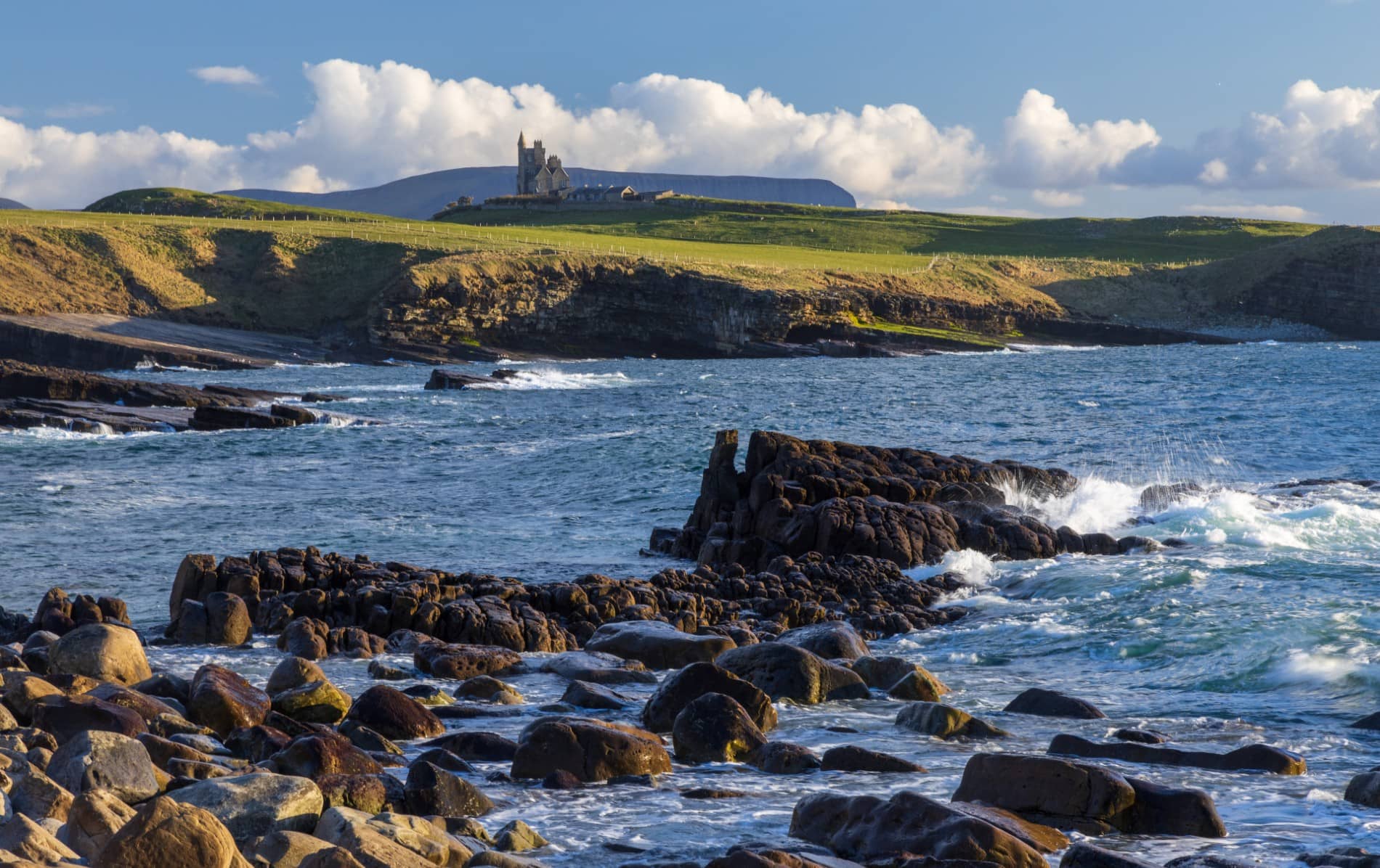 IndicatedEnclosure · 769 yd
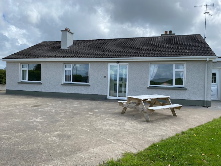 Habitation site in BuncroweyHabitation site · 1275 yd
 Camphill Househouse · 1.9 mi
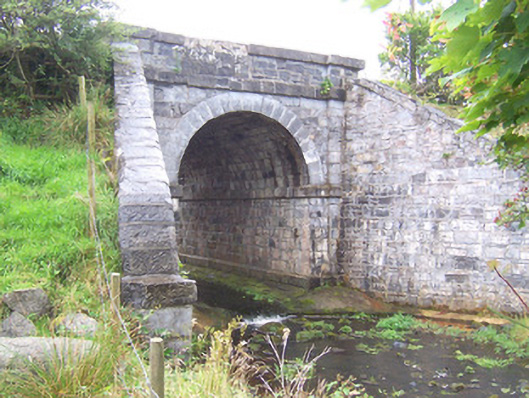 bridgebridge · 2.3 mi
 Ballynahowna CastleCastle, tower house · 2.8 mi
 Site of Dunneill CastleCastle, unclassified · 3.1 mi
 Split RockNamed rock · 4.5 mi
 DonaghHeadland · 4.5 mi
 MeenamaddoMountain / peak · 4.8 mi
 Sruffaungarve TopMountain / peak · 5.1 mi
 Jim Smith MemorialMemorial · 5.7 mi
 Wild Atlantic Way: Easky PierVisitor information · 5.8 mi