
What is recorded here
Half a hundred metres of buried wall still marks the edge of a forgotten field, lying beneath the bog only seventeen metres from the wedge tomb. People may have walked that line for generations, directing cattle or shaping the land before the wet earth swallowed the stones. The boundary did not disappear; it waited under the moss, preserving the shape of a life that no longer remembers its own name.
In boggy ground, on S-facing slope and c. 17m S of wedge-tomb (CO069-069----). Remains of pre-bog wall extending over a distance of c. 100m (pers. comm. Paul Walsh).
The above description is derived from the published 'Archaeological Inventory of County Cork. Volume 3: Mid Cork' (Dublin: Stationery Office, 1997). In certain instances the entries have been revised and updated in the light of recent research.
Date of upload/revision: 14 January 2009
The monument record does not grant public access. Check the route and ask the landowner before entering private land.
- What survives
- Recorded monument
Places near here
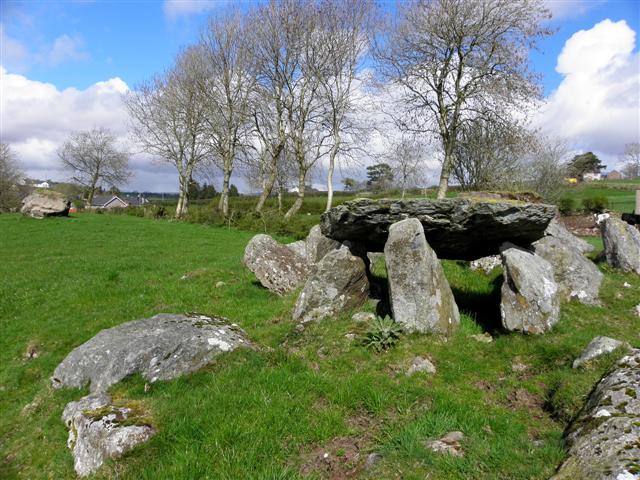 Wedge tomb in Cúil AodhaWedge tomb · 45 yd
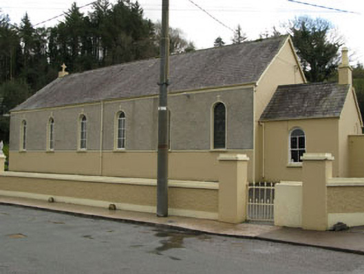 Séipéal Ghobnatan [Saint Gobnet's Catholic Church]church/chapel · 802 yd
 IndicatedFairy fort / stone ringfort · 839 yd
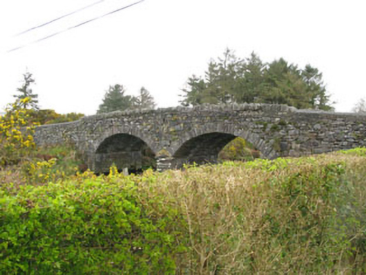 Milleeny Bridgebridge · 1024 yd
 Sli Gaeltacht MuscraiWalking route · 1.4 mi
 CastleCastle, unclassified · 1.7 mi
 European long distance path E8 - part IrelandWalking route · 2.0 mi
 Cascade WoodWood · 2.5 mi
 Castle (Site of)Castle, unclassified · 2.5 mi
 Kealaboane WoodWood · 2.6 mi
 An Coimín BuíMountain / peak · 3.2 mi
 MweelinMountain / peak · 3.2 mi
Other information
Photo: Credit not shown in the picture search · Rights wording not checked; contact us if this picture should be removed