What is recorded here
A field wall runs SW from the perimeter of cashel (RO047-010001-) at S in aerial photograph (CUCAP APH 38), but there is nothing to suggest that it is ancient. It has now been removed.
Compiled by: Michael Moore
Date of upload: 24 August 2010
The monument record does not grant public access. Check the route and ask the landowner before entering private land.
- What survives
- Recorded monument
Places near here
 Cronin FortFairy fort / earthen ringfort · 104 yd
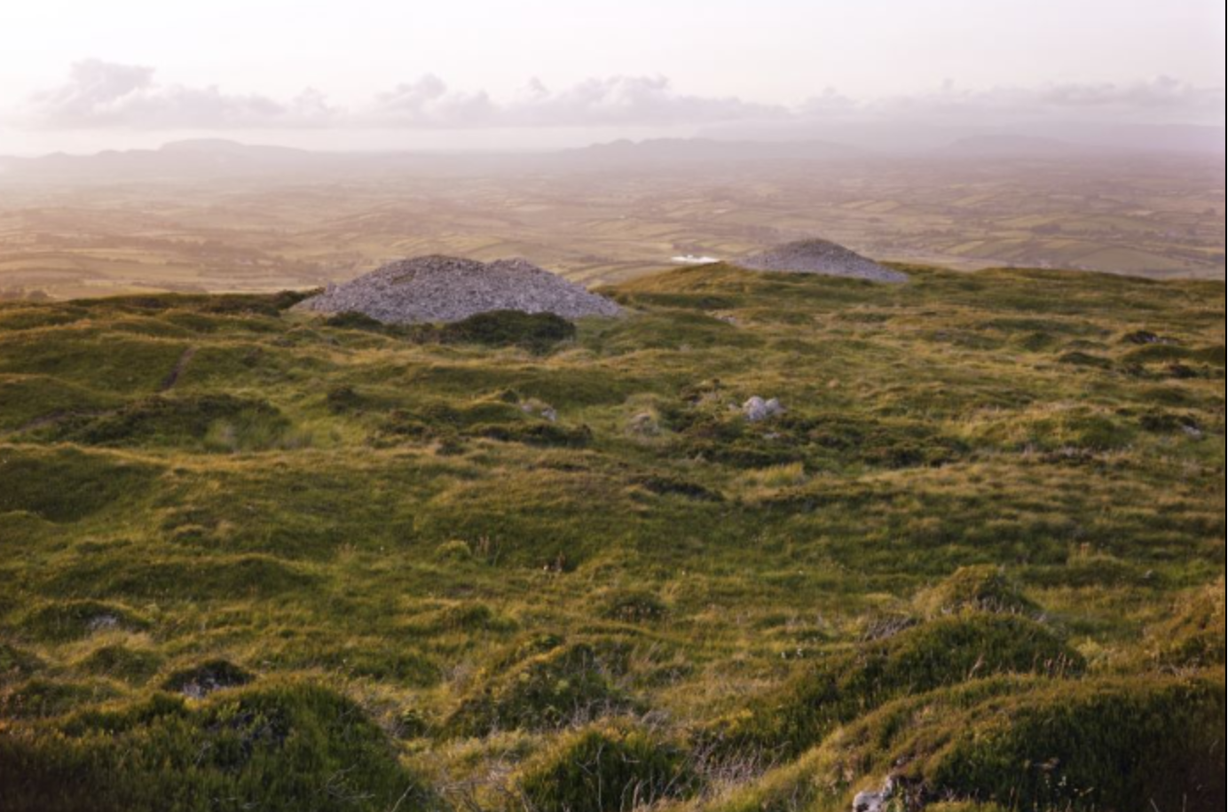 Embanked enclosureFairy fort / earthen ringfort · 384 yd
 Inchnaveague IslandIslet · 1.6 mi
 InchnagowerIslet · 1.8 mi
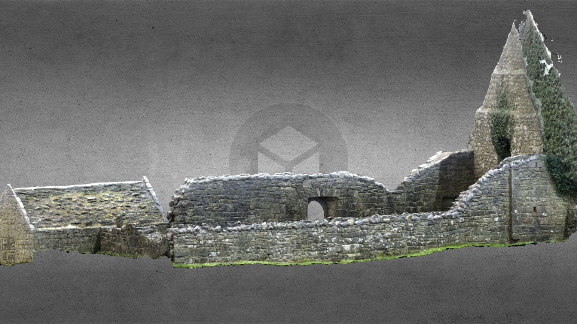 Church (in Ruins)Church · 1.8 mi
 Church in Cloghan,curraghadoonChurch · 2.0 mi
 CastleCastle, unclassified · 2.1 mi
 Castle (Site of)Castle, unclassified · 4.1 mi
 Sheep HillMountain / peak · 5.1 mi
 Aughrane WoodsForest · 6.4 mi
 LismoneyForest · 6.5 mi
 Mount MaryMountain / peak · 9.5 mi