
What is recorded here
This is an early ecclesiastical site with no known history, situated on a slight slope down to the N and E in a low-lying landscape. A grass-covered platform (dims. 9.2m E-W; 7.8m N-S; H 0.1-0.2m) is thought to be a church, locally called Taghshane or Teach Sean. This is at the centre of a D-shaped grass-covered enclosure (RO044-054001-) (dims. 41.5m N-S; 38.8m E-W) which is defined by an earthen bank (Wth 2-3m; int. H 0.15-0.25m; ext. H 0.5-0.8m), with traces of a fosse (Wth of base 1m; D 0.2m) at E. There is a local tradition of its use as a Children's Burial Ground (RO044-054003-), but no evidence of this.
This enclosure is truncated at N by a NW-SE roadway (RO044-054004-) (surviving L 120m; Wth 2.2m) defined by two earth and stone banks (Wth 2.3-2.5m; int. H 0.4-0.55m; ext. H 0.65-0.75m) and outer silted drains (Wth of base 0.5-0.8m; D 0.25-0.5m). This road turns SW (L 21m) just W of the enclosure.
The roadway is cut at E by a bank of, and it survives within, a large D-shaped grass-covered ecclesiastical enclosure (RO044-054005-) (dims. c. 150m NW-SE; c. 120m NE-SW) defined by an earthen bank (at SE: Wth 3.5m; H 0.2m) separated by a berm (at SE: Wth 1.8m) from a second bank (at SE: Wth 4.2m; int. H 0.35m; ext. H 1.2m), a flat-bottomed fosse (at SE: Wth of base 1.5m; ext. D 0.7m) and a counterscarp bank (at SE: Wth 3m; ext. H 0.1m) surviving NW-S (at SE: total Wth 13m). Field walls and reclaimation have disturbed the perimeter of this enclosure SW-NN.
Compiled by: Michael Moore
Date of upload: 24 August 2010
The monument record does not grant public access. Check the route and ask the landowner before entering private land.
- What survives
- Recorded monument
Places near here
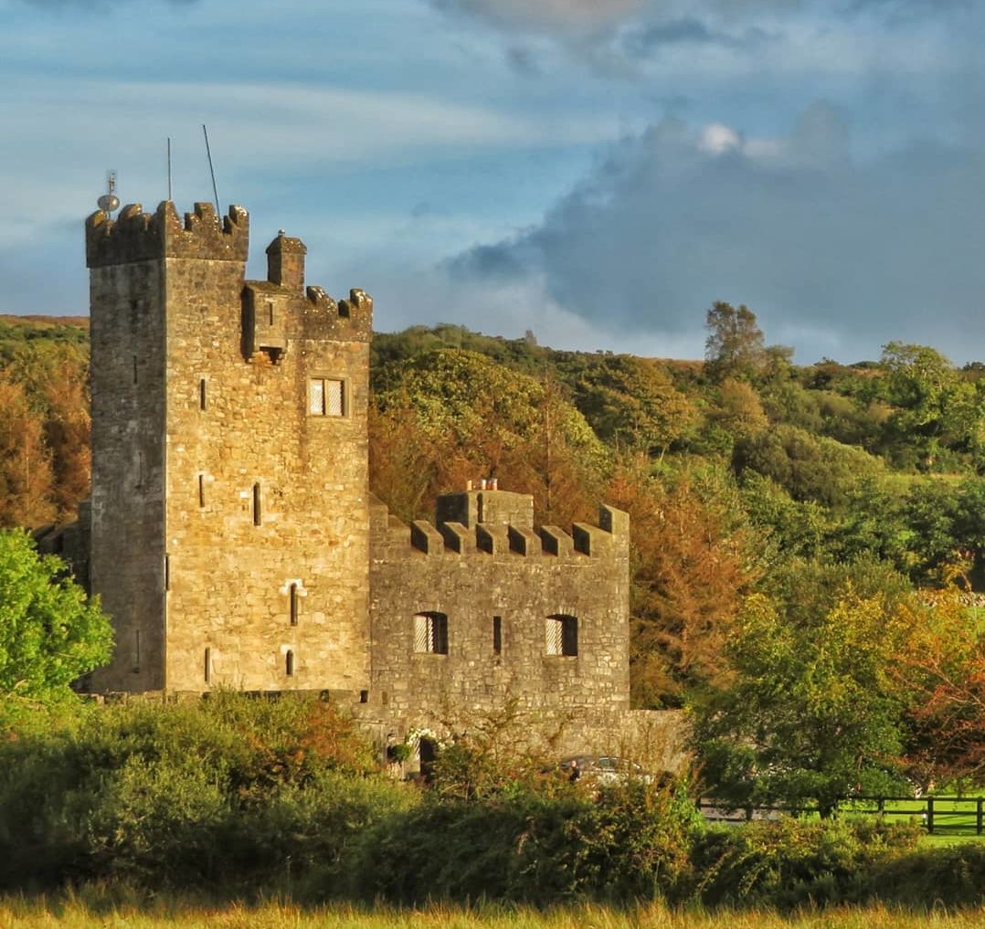 IndicatedEnclosure · 712 yd
 Ecclesiastical enclosure in TaghboyEcclesiastical enclosure · 977 yd
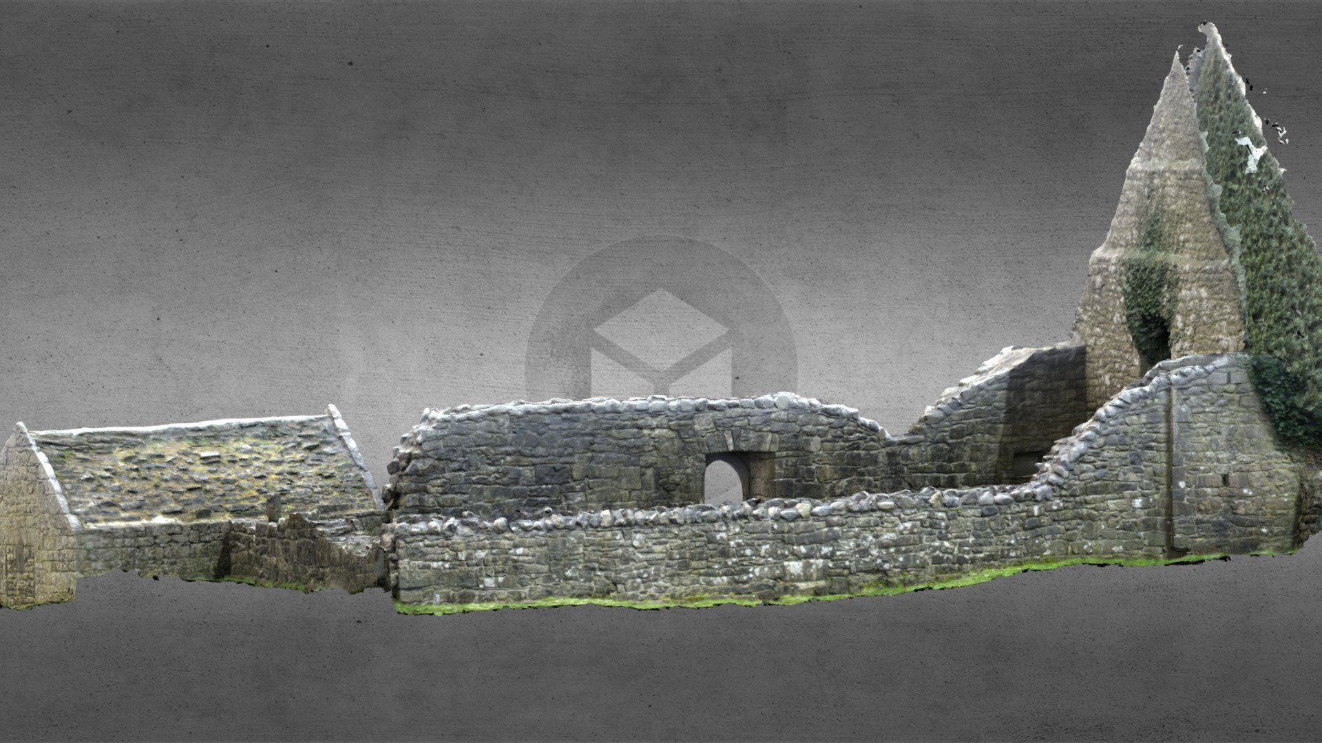 Church (in Ruins)Church · 985 yd
 Loobinroe Windmillmill (wind) · 2.2 mi
 Inchnaveague IslandIslet · 2.4 mi
 InchnagowerIslet · 3.0 mi
 European Crab AppleEuropean Crab Apple · 3.9 mi
 Site of Ballygar CastleArchaeological place · 4.2 mi
 Castle KellyCastle, tower house · 4.5 mi
 Aughrane WoodsForest · 4.6 mi
 Mount MaryMountain / peak · 7.6 mi
 Site of Killomaine Grave YardArchaeological place · 13 mi
Other information
Photo: Credit not shown in the picture search · Rights wording not checked; contact us if this picture should be removed