
What is recorded here
Marked on the 1837 and 1915 eds of the OS 6-inch map and described as 'Cronin Fort' in gothic lettering on both. It is situated on a S-facing slope. Oval grass-covered platform (dims 51.7m N-S; 41.2m E-W) defined by a slight earth and stone bank most evident at W and N (Wth 2.5m; int. H 0.2m; ext. H 0.5m), but the perimeter is usually reduced to a scarp (max. H 1.7m at S). There is no visible fosse or identifiable original entrance but some relict field walls (RO047-009002-) cross the interior. The perimeter is quarried at E and there are some clearance cairns in the interior. Rath (RO047-010001-) is about 50m to the SE.
Compiled by: Michael Moore
Date of upload: 24 August 2010
Cronin Fort is an oval, grass-covered ringfort situated on a south-facing slope, marked on Ordnance Survey maps from 1837 and 1915. Likely dating to the early medieval period, it is associated with local folklore referring to it as a fairy fort, suggesting a tradition of supernatural or otherworldly significance.
The monument record does not grant public access. Check the route and ask the landowner before entering private land.
- What survives
- Recorded monument
Places near here
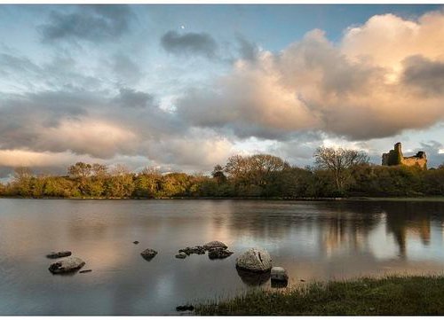 Mass-rock in CroninMass-rock · 508 yd
 Embanked enclosureFairy fort / earthen ringfort · 601 yd
 Inchnaveague IslandIslet · 1.6 mi
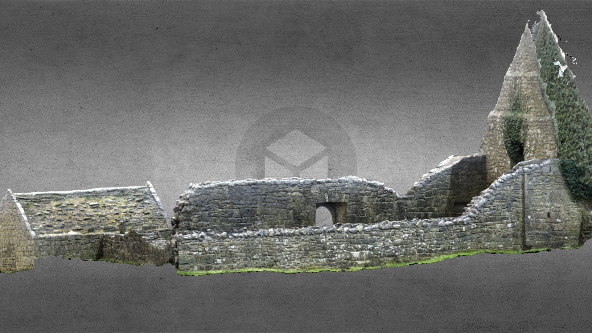 Church (in Ruins)Church · 1.8 mi
 InchnagowerIslet · 1.8 mi
 Church in Cloghan,curraghadoonChurch · 1.9 mi
 CastleCastle, unclassified · 2.2 mi
 Castle (Site of)Castle, unclassified · 4.1 mi
 Sheep HillMountain / peak · 5.2 mi
 Aughrane WoodsForest · 6.4 mi
 LismoneyForest · 6.6 mi
 Mount MaryMountain / peak · 9.5 mi
Other information
Photo: Credit not shown in the picture search · Rights wording not checked; contact us if this picture should be removed