What is recorded here
In mixed tillage and pasture. Reported by Jean-Charles Caillere. Visible on Google Earth aerial imagery (18-4-2015) as the soilmark of a circular area (est. diam. c. 50m), the possible remains of an earthwork. It appears to lie in the W-half of a large rectangular enclosure (est. max L c. 100m ENE-WSW; est. max Wth c. 70m NNW-SSE) defined by the cropmarks of two parallel fosses. A ringfort (RO047-005----) lies c. 380m to the WSW.
See attached image: RO044-132----_01 Google Earth aerial image, 18-4-2015.
Compiled by: Gearóid Conroy
Date of upload: 2 February 2023
The monument record does not grant public access. Check the route and ask the landowner before entering private land.
- What survives
- Recorded monument
Places near here
 LissaphucaFairy fort / earthen ringfort · 477 yd
 Enclosure in MullaghardaghEnclosure · 563 yd
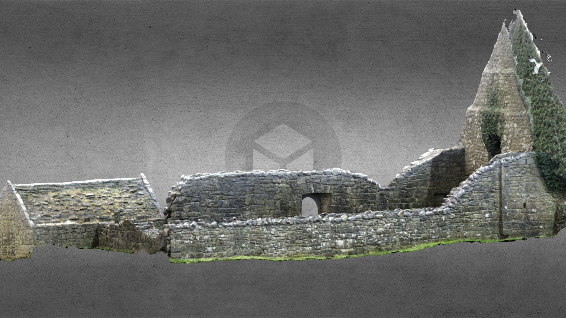 Church (in Ruins)Church · 1.1 mi
 Church in Cloghan,curraghadoonChurch · 1.4 mi
 Inchnaveague IslandIslet · 2.1 mi
 Inch IslandIsland · 2.4 mi
 CastleCastle, unclassified · 2.8 mi
 Castle (Site of)Castle, unclassified · 4.6 mi
 Aughrane WoodsForest · 5.6 mi
 Sheep HillMountain / peak · 5.7 mi
 LismoneyForest · 6.5 mi
 Mount MaryMountain / peak · 8.8 mi