What is recorded here
Listed in the RMP (1995) as 'Field wall(s), possible'. Not marked on any edition of the OS 6-inch map. Situated in undulating boggy pasture. A series of possible pre-bog field walls were noted in this area (SMR file). Subsequent fieldwork in 1993 failed to locate any evidence for these walls.
Compiled by: Paul Walsh
Date of upload: 9 January 2014
The monument record does not grant public access. Check the route and ask the landowner before entering private land.
- What survives
- Recorded monument
Places near here
 CastleCastle, tower house · 714 yd
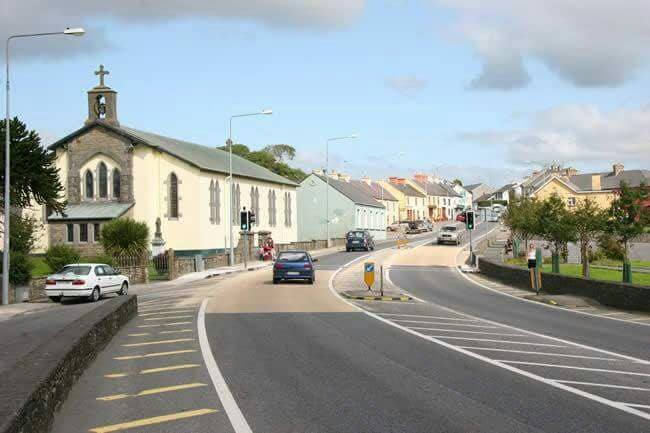 IndicatedFairy fort / earthen ringfort · 982 yd
 Lady Margaret's TowerRuins · 1288 yd
 Fulacht fia in BarnacoghilFulacht fia · 1300 yd
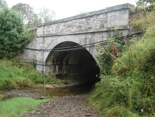 bridgebridge · 1336 yd
 Site of Dunneill CastleCastle, unclassified · 2.2 mi
 DonaghHeadland · 2.6 mi
 Aughris HeadHeadland · 3.7 mi
 Knockalongy South-West TopMountain / peak · 3.7 mi
 Eamonn's TopMountain / peak · 3.8 mi
 Aughris BeachBeach / strand · 3.8 mi
 Dunmoran StrandBeach / strand · 4.4 mi