What is recorded here
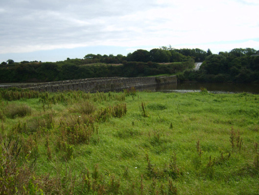
Single-arch road bridge over river, extant 1840. Sited spanning Scar River at estuary with unkempt banks to river.
A causeway-like bridge representing an important component of the civil engineering heritage of south County Wexford: meanwhile, a weathered benchmark remains of additional interest for the connections with cartography and the preparation of maps by the Ordnance Survey (established 1824).
From the Buildings of Ireland (National Inventory of Architectural Heritage) record 15619010
This does not grant access. Most recorded buildings are privately owned; view them only from public ground unless the owner allows entry.
Places near here
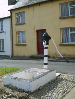 water pump186 yd
 Saint Mogue's RectoryRectory/glebe/vicarage/curate's house · 338 yd
 Hook Tourism (Fethard Office)Visitor information · 339 yd
 Fethard CastleCastle, hall-house · 544 yd
 Baginbun BeachBeach / strand · 1614 yd
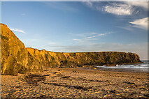 Carnivan BeachBeach / strand · 1716 yd
 Baginbun HeadHeadland · 1.1 mi
 Houseland Castle (in ruins)Castle, tower house · 3.0 mi
 Windmill (in Ruins)Windmill · 3.0 mi
 Lady WellHoly well · 3.2 mi
 Tintern AbbeyBuilding misc · 3.3 mi
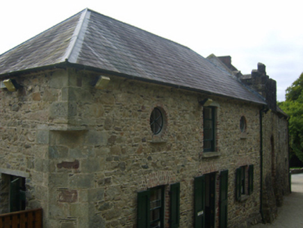 Tintern AbbeyStables · 3.3 mi
Pictures: National Inventory of Architectural Heritage; P L Chadwick, Geograph · CC BY-SA 2.0; Andreas F. Borchert, Wikimedia Commons · CC BY-SA 4.0; Oliver Dixon, Geograph · CC BY-SA 2.0; Mike Searle, Geograph · CC BY-SA 2.0; Sean O Briain, Geograph · CC BY-SA 2.0; A.-K. D., Wikimedia Commons · CC BY-SA 4.0; Eirian Evans, Geograph · Creative Commons Attribution-ShareAlike 2.0
More historic places in County Wexford · All of County Wexford
What do you know about this place?