
What is recorded here
From OpenStreetMap (© OpenStreetMap contributors) n12906305579
Places near here
Photo credits
- National Inventory of Architectural Heritage
- Maker not stated on source page, www.pinterest.com
- Maker not stated on source page, ru.pinterest.com
- Kenneth Allen, Geograph · CC BY-SA 2.0
- Eric Jones, Geograph · Creative Commons Attribution-ShareAlike 2.0
- Maker not stated on source page, en.wikipedia.org
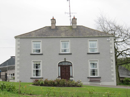 Lake ViewHouse · 1058 yd
Explorer Tom Lake View lost its windows but kept its Georgian swagger. A local bishop refused to visit because he said it was too…
 Fairy fort / earthen ringfort in Cornaglare (dartree By.)Fairy fort / earthen ringfort · 1361 yd
Explorer Tom Cornaglare’s hilltop fort would cope brilliantly on a reality show because it never leaves its comfort zone. It sits…
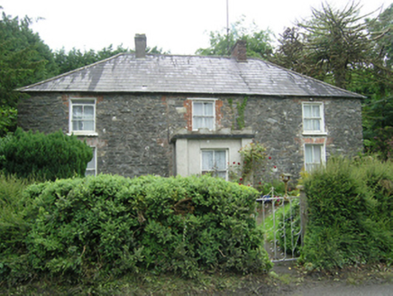 Mountain ViewHouse · 1376 yd
Explorer Tom Mountain View in Corweelis is secretly proud of one specific potato that grew right outside its front door last year.…
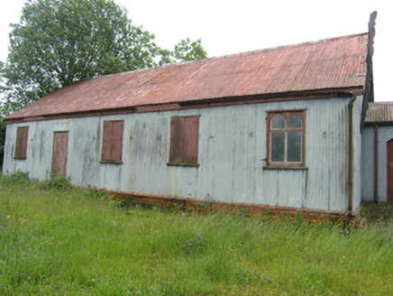 Tonaghbane Parochial HallChurch hall/parish hall · 1499 yd
Explorer Tom Tonaghbane Parochial Hall is a 'tin tabernacle,' which sounds like a punk gig venue before they had electricity. It’s…
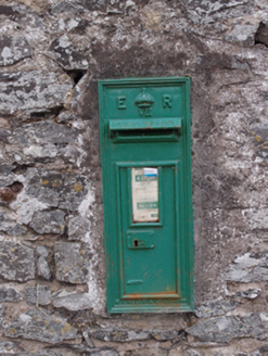 post box1530 yd
Explorer Tom Post box in Corweelis is still wearing its Edward VII crown like a tiny, rusty hat from 1905. Drop a letter in if you…
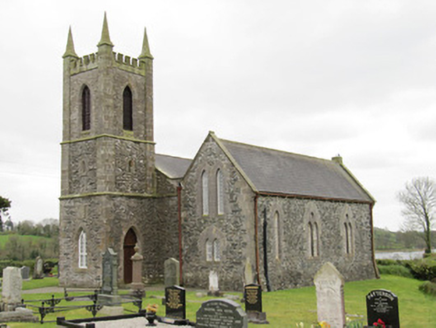 Drum Church (Currin)Church/chapel · 1.3 mi
Explorer Tom Drum Church in Currin is currently under the strict supervision of a very confused dog named Bob. He charges admission…
 Mapped graveyardGraveyard · 1.3 mi
Explorer Tom this Mapped graveyard in County Monaghan is where a local superstition says you mustn’t whistle after dark, or the…
 John AndersonCoaching inn · 1.4 mi
Explorer Tom John Anderson coaching inn in Drum is currently vacant but still holding onto its heritage fabric like a grumpy old man…
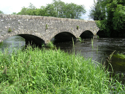 Killycreeny BridgeBridge · 1.4 mi
Explorer Tom Killycreeny Bridge claims to have an imaginary twin across the sea in New Zealand who is also made of limestone and…
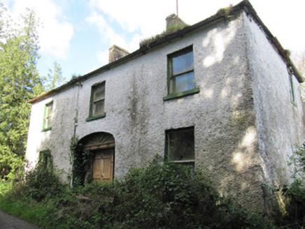 Crosslea HouseHouse · 1.5 mi
Explorer Tom Crosslea House is a Georgian-style building that kept using that iconic style until the twentieth century, which is…
 Drum Presbyterian ChurchChurch/chapel · 1.5 mi
Explorer Tom Drum Presbyterian Church in Cortober is simple but has round-headed windows that make it look surprisingly friendly.…
 Linear earthwork in MagherashaghryLinear earthwork · 1.7 mi
Explorer Tom Linear earthwork in Magherashaghry has a stubborn blackbird that refuses to leave its perch. The bird stares at me with…
More mountains and hills in County Monaghan · All of County Monaghan

What do you know about this place?Tap to add a comment or ask a question