What is recorded here
Cornaglare holds a circular earthen fort on a small hillock, large enough for thirty people to walk inside its broken ring. It appeared on maps before modern cameras existed, proving humans shaped that land long ago. The fairies may have taken the name, but people built the ridge.
Situated on top of a small hillock. A circular embanked enclosure (ext. diam. c. 35-40m) is depicted on the 1834 edition of the OS 6-inch map where it is described in gothic lettering as a ‘fort’, and it is represented as a hachured feature on the 1907 edition. Traces of a slightly raised grass-covered platform (diam. 33m E-W; 32.5m N-S) defined by a scarp (at W: Wth 4.8m; H 0.8m) are visible. It can be seen on aerial images (OSAP 1995; Ortho images).
The above description is derived from the published 'Archaeological Inventory of County Monaghan' (Dublin: Stationery Office, 1986). In certain instances the entries have been revised and updated in the light of recent research.
Revised by: Michael Moore
Date of revision: 20 June 2018
The monument record does not grant public access. Check the route and ask the landowner before entering private land.
- What survives
- Recorded monument
Places near here
 BarraghMountain / peak · 910 yd
 Fairy fort / earthen ringfort in Aghareagh EastFairy fort / earthen ringfort · 1126 yd
 IndicatedFairy fort / earthen ringfort · 1364 yd
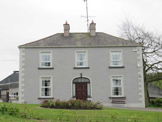 Lake Viewhouse · 1465 yd
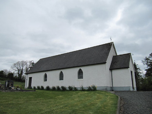 Corrinshigo Catholic Churchchurch/chapel · 1.0 mi
 Whitelough PlantationsForest · 1.9 mi
 Bawn in DrumsheilBawn · 1.9 mi
 CortoberMountain / peak · 1.9 mi
 Church WoodForest · 2.1 mi
 Embanked enclosureBawn · 2.1 mi
 Giant's GraveArchaeological place · 3.3 mi
 Graveyard in Drumgoon (clankee By.)Graveyard · 6.0 mi