
What is recorded here
Situated just S of the summit of a high drumlin hill. Much disturbed. Marked 'Fort' on the OS 1836 and 1876 eds. It would appear to have comprised a raised circular area (int. diam. 32.3m). The enclosing features, presumably an earthen bank and fosse, are completely obscured by a complex of modern field boundaries, banks and drains. Large depressions in the perimeter at WSW and W.
The above description is derived from the published 'Archaeological Inventory of County Cavan' (Dublin: Stationery Office, 1995). In certain instances the entries have been revised and updated in the light of recent research.
Date of upload/revision: 22 December 2008
A local fairy fort (ringfort/rath); wider significance not recorded.
The monument record does not grant public access. Check the route and ask the landowner before entering private land.
- What survives
- Recorded monument
Places near here
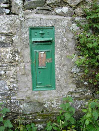 post boxpost box · 750 yd
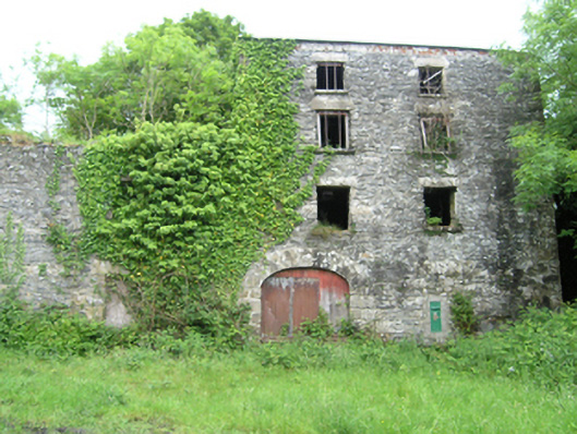 Coppanagh Millsmill (water) · 750 yd
 BarraghMountain / peak · 1043 yd
 BarrowBarrow, ring-barrow · 1070 yd
 Enclosure in Corrinshigo (cremorne By)Enclosure · 1.1 mi
 Embanked enclosureBawn · 1.4 mi
 Bawn in DrumsheilBawn · 1.8 mi
 DernaskeaghMountain / peak · 2.1 mi
 Whitelough PlantationsForest · 2.4 mi
 McCullagh's PlantationWood · 2.4 mi
 Giant's GraveArchaeological place · 2.8 mi
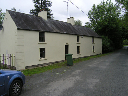 miller's housemiller's house · 789 yd
Other information
Photo: Credit not shown in the picture search · Rights wording not checked; contact us if this picture should be removed