
What is recorded here
Located towards the top of the S-facing slope of a drumlin. It is depicted as a small circular embanked enclosure (ext. diam. c. 20m) only on the 1834 edition of the OS 6-inch map where it is described in gothic lettering as a ‘fort’. It was described in 1945 (SMR file) as a curve of a bank (ext. H c. 0.6m; int. H c. 0.9m) with an internal ditch or fosse (Wth of base c. 0.3m) and a slightly domed interior that was truncated by a NNW-SSE field bank at E. No archaeological feature is visible at ground level in pasture (OSAP).
The above description is derived from the published 'Archaeological Inventory of County Monaghan' (Dublin: Stationery Office, 1986). In certain instances the entries have been revised and updated in the light of recent research.
Revised by: Michael Moore
Date of revision: 20 June 2018
A ring-barrow, likely dating to the Early Bronze Age. Its significance lies in its association with early burial practices and landscape use in a drumlin environment.
The monument record does not grant public access. Check the route and ask the landowner before entering private land.
- What survives
- Recorded monument
Places near here
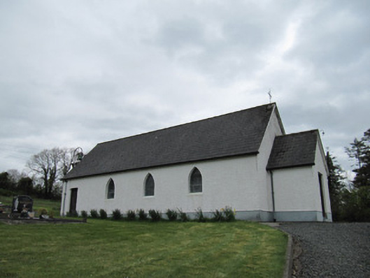 Corrinshigo Catholic Churchchurch/chapel · 467 yd
 Enclosure in Corrinshigo (cremorne By)Enclosure · 928 yd
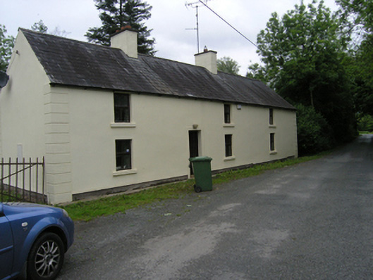 miller's housemiller's house · 1008 yd
 IndicatedFairy fort / earthen ringfort · 1070 yd
 BarraghMountain / peak · 1.1 mi
 Embanked enclosureBawn · 1.8 mi
 LattacrossanMountain / peak · 2.1 mi
 Bawn in DrumsheilBawn · 2.4 mi
 Whitelough PlantationsForest · 2.8 mi
 Church WoodForest · 3.0 mi
 Giant's GraveArchaeological place · 3.3 mi
 Giants GraveArchaeological place · 5.2 mi
Other information
Photo: Credit not shown in the picture search · Rights wording not checked; contact us if this picture should be removed